South Africa Braces for Severe Thunderstorms as Five Provinces Face Warnings
Stay informed with South Africa's daily weather and provincial insights, covering temperature updates, UVB forecasts, and essential facts about each of the nine provinces. Learn about today's conditions and critical weather alerts, including severe thunderstorm warnings for several regions.
Several parts of South Africa are facing severe thunderstorms, with warnings covering areas across Free State, Gauteng, Mpumalanga, North West and Northern Cape.
The most serious warning is an Orange Level 6 alert for parts of the Free State, where severe thunderstorms could bring flooding, strong gusty winds and hail. The conditions could damage buildings, disrupt travel and affect municipal services.
A lower-level Yellow Level 2 warning is also in place across parts of Gauteng, Mpumalanga, North West and Northern Cape, with the possibility of localised flooding, falling trees, lightning-related incidents and damage to structures.
The South African Weather Service uses an impact-based warning system, with higher levels indicating a greater likelihood of significant impacts.
Free State faces the biggest risk
The Orange Level 6 warning covers the northern and eastern parts of the Free State.
Forecasters expect severe thunderstorms that could produce heavy rain, large amounts of hail and strong winds. Low-lying areas and roads are particularly vulnerable to flooding.
The combination could also cause damage to formal and informal structures and lead to interruptions to local services.
For people travelling through affected areas, the risk is not limited to poor visibility or wet roads. Hail, strong winds, fallen trees and flooded crossings can quickly make driving dangerous.
Four other provinces are on alert
Gauteng is expected to see cloudy and cold conditions with scattered showers and thunderstorms, particularly in the southern parts of the province.
Mpumalanga could experience morning fog along the escarpment, followed by scattered showers and thunderstorms. Conditions are expected to be cool to cold.
In North West, cloudy, windy and cool conditions are forecast, with thunderstorms becoming more widespread in the south-east.
Parts of the Northern Cape could also see isolated thunderstorms, particularly in the east, where windy conditions are expected.
The affected areas are not facing identical conditions, but the common concern is the potential for thunderstorms to cause localised damage and disruption.
KwaZulu-Natal and other provinces
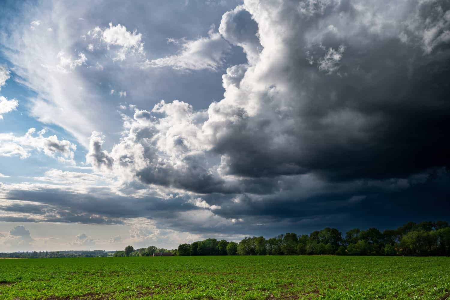
KwaZulu-Natal is also expected to have cloudy and cold to cool conditions, with scattered showers and thunderstorms in parts of the province.
The Eastern Cape will see a mixture of conditions. The western half is expected to be partly cloudy and cool, while the eastern half could experience morning rain and further showers over the escarpment during the afternoon.
The Western Cape is expected to remain mostly fine and warmer inland, although conditions will vary along the coast.
The Northern Cape will also see a sharper contrast, with fine conditions in the west and a chance of thunderstorms in the eastern parts.
Take care on the roads
Residents in areas under the warnings are being advised to take thunderstorms seriously, particularly during periods of heavy rain and lightning.
Drivers should slow down in poor visibility and avoid flooded roads and low-lying crossings rather than attempting to drive through them.

People should also avoid standing under trees or other tall structures during thunderstorms because of the risk of lightning strikes.
South Africa's summer rainfall regions have experienced severe thunderstorms and flooding during previous weather events, with the South African Weather Service repeatedly warning about the risks to roads, settlements and infrastructure.
For now, the Free State faces the strongest warning, while residents across several neighbouring provinces are being urged to remain alert as storms develop.