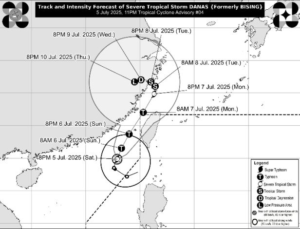
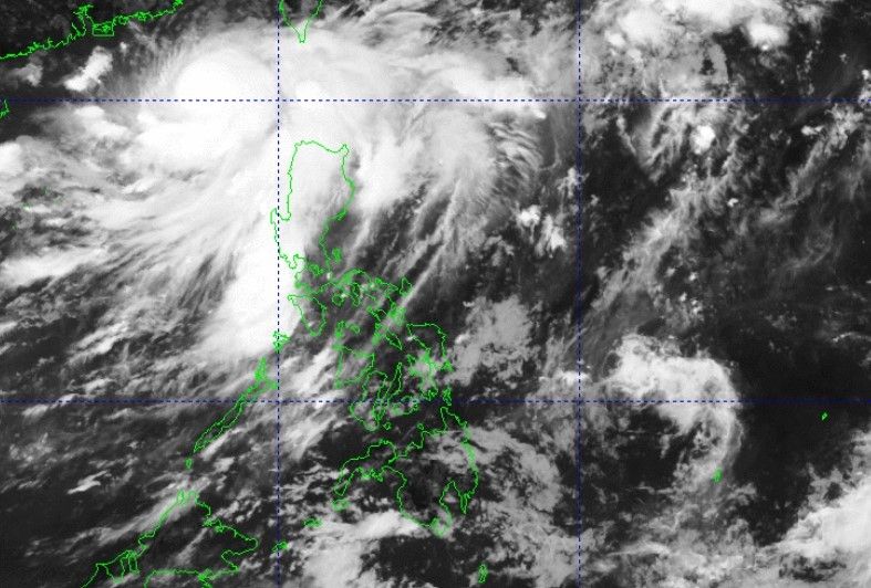
LPA turns into Tropical Depression 'Crising'
THE low pressure area spotted within the Philippine area of responsibility (PAR) has developed into a tropical depression, the Philippine Atmospheric, Geophysical and Astronomical Services Administration (Pagasa) said Wednesday, July 16, 2025.
In its advisory, the weather bureau said Tropical Depression “Crising” was last spotted at 725 kilometers east of Virac, Catanduanes with maximum sustained winds of 45 kilometers per hour (km/h) near the center, gusts of up to 55 km/h, and central pressure of 1004 hPa.
Crising was moving westward at 35 km/h but Pagasa said it will move north westward as it progresses near the landmass.
The weather bureau said Crising is currently affecting the Bicol region and Eastern Visayas with cloudy skies and localized rain.
Crising was forecast to reach the tropical storm category by Thursday, July 17, and may turn into a severe tropical storm by July 18 prior to its approach to northern Luzon.
“It is closest to northern Luzon by Friday (18 July) evening and may pass close or make landfall over Babuyan Islands. A slight change in the succeeding forecast track may also suggest a landfall scenario over mainland Cagayan,” said Pagasa.
Pagasa weather specialist John Manalo said the southwest monsoon or habagat is also continuously affecting the provinces of Zambales, Bataan, Metro Manila, Cavite, Batangas, Occidental Mindoro, Palawan, Western Visayas and Mindanao, particularly Zamboanga Peninsula.
He said Crising is most likely to interact with the southwest monsoon, which may bring heavy rain showers to the affected areas during the weekend.
You may also like...
Diddy's Legal Troubles & Racketeering Trial

Music mogul Sean 'Diddy' Combs was acquitted of sex trafficking and racketeering charges but convicted on transportation...
Thomas Partey Faces Rape & Sexual Assault Charges

Former Arsenal midfielder Thomas Partey has been formally charged with multiple counts of rape and sexual assault by UK ...
Nigeria Universities Changes Admission Policies

JAMB has clarified its admission policies, rectifying a student's status, reiterating the necessity of its Central Admis...
Ghana's Economic Reforms & Gold Sector Initiatives

Ghana is undertaking a comprehensive economic overhaul with President John Dramani Mahama's 24-Hour Economy and Accelera...
WAFCON 2024 African Women's Football Tournament

The 2024 Women's Africa Cup of Nations opened with thrilling matches, seeing Nigeria's Super Falcons secure a dominant 3...
Emergence & Dynamics of Nigeria's ADC Coalition

A new opposition coalition, led by the African Democratic Congress (ADC), is emerging to challenge President Bola Ahmed ...
Demise of Olubadan of Ibadanland
Oba Owolabi Olakulehin, the 43rd Olubadan of Ibadanland, has died at 90, concluding a life of distinguished service in t...
Death of Nigerian Goalkeeping Legend Peter Rufai

Nigerian football mourns the death of legendary Super Eagles goalkeeper Peter Rufai, who passed away at 61. Known as 'Do...


