7 Nigerian States Getting More Flood Than Lagos Itself
Everyone blames Lagos when floods hit, but the data tells a different story. These seven Nigerian states receive significantly more rainfall and face even greater flood risks due to geography, overflowing rivers, and prolonged rainy seasons.
If you hear about a flood, boom, you've assumed it's Lagos. Well, everyone does, and you can't blame them because Lagos has won the award consistently.
The city has built a reputation loud enough that "flooding" and "Lagos" now function as synonyms in Nigerian conversation, the way "harmattan" means dust and "NEPA" means darkness.
The data doesn't back the assumption. Lagos isn't Nigeria's wettest state, and it isn't the only place drowning this year. Here are seven states carrying a heavier flood burden than the city that gets all the headlines.
1. Cross River
Calabar, the state capital, holds the title of Nigeria's rainiest major city. Cross River sits inside the band of South-South states recording between 2,500 and more than 3,000 millimetres of rainfall a year, against Lagos's 1,500 to 2,000.
The National Bureau of Statistics has gone further, placing the stretch of coast east of Calabar among the wettest patches in the entire country, with mean annual rainfall exceeding 4,000 millimetres in parts. NiMet's own 2025 seasonal forecast put Cross River in a band of 2,700 to 3,010 millimetres for the year, roughly double what Lagos typically records.
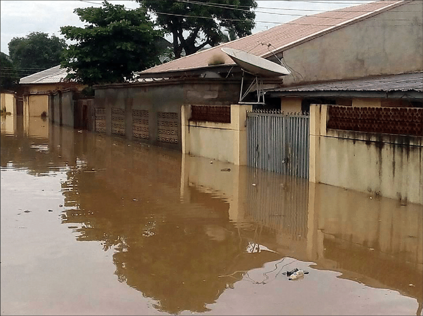
Image credit: Nbg africa
2. Akwa Ibom
Akwa Ibom sits in the same high-rainfall band as Cross River, one of the South-South states the Nigerian Meteorological Agency (NiMet) names as consistently getting the country's heaviest annual rain.
NiMet's 2026 Seasonal Climate Prediction expects southern states like this one to see normal to above-normal rainfall this year, which raises flood risk in communities already dealing with it every season.
Academic rainfall studies analysing decades of NiMet station data have recorded Akwa Ibom's mean rainfall at well over 2,600 millimetres a year, among the two or three highest readings anywhere in the country.
3. Rivers
Port Harcourt fights the same drainage failures every rainy season, and intense rainfall keeps exposing them.
Rivers State's low-lying terrain and its position on the coast make it one of the state's NiMet flags as remaining vulnerable purely because of how much rain lands there, not because of any single storm.
Its climate falls into the tropical monsoon zone that also covers Delta and Bayelsa, a band where the dry season barely registers and rain falls in some volume across most months of the year.
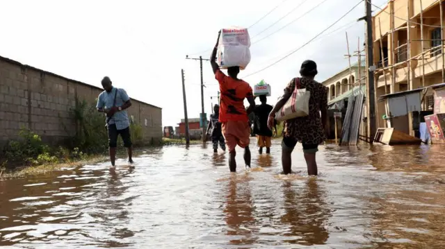
Image credit: Nbg africa
4. Bayelsa
Yenagoa and the riverine settlements around it stay vulnerable because of low elevation as much as rainfall volume.
Bayelsa is also one of the states NiMet has specifically named as exposed to flooding from the Niger and Benue river systems, meaning it faces both direct rainfall and water flowing in from upstream.
NiMet's 2025 forecast put Bayelsa's annual total in the same 2,700 to 3,010 millimetre range as Cross River, Rivers, and Akwa Ibom, making it one of a small cluster of states that consistently trade the title of Nigeria's wettest.
5. Delta
Delta communities on the Niger floodplain track river levels the way people elsewhere check weather apps, because for them, it's the same information.

NiMet's forecast puts Delta among the states most exposed to overflow from the Niger and Benue systems, on top of its own high rainfall totals in the 2,500 millimetre-plus range shared across the South-South.
Delta's climate is classified as tropical monsoon, the same zone that produces close to 2,000 millimetres of rain a year, even before accounting for the river water that arrives from further north.
6. Edo
Edo doesn't always make the list of Nigeria's rainiest states in casual conversation, but the numbers put it ahead of Lagos by a wide margin.
Benin City, the state capital, records close to 2,679 millimetres of rainfall a year, against Lagos's roughly 1,783 millimetres on the same measure, a gap of nearly 900 millimetres.
Edo's tropical monsoon climate keeps the wet season running through most of the year, with only a short, mild dry stretch that does little to offset the totals.
7. Niger
Niger State didn't even wait for the rainy season to peak. Mokwa suffered one of the deadliest floods recorded in Nigeria this year after flash flooding tore through the town, destroying homes and roads and killing scores of people.
NiMet has flagged Niger, alongside Kogi, Benue, Anambra, Bayelsa, and Delta, as particularly exposed to flooding along the Niger and Benue river systems, where overflowing rivers have historically caused some of the country's worst flood disasters.
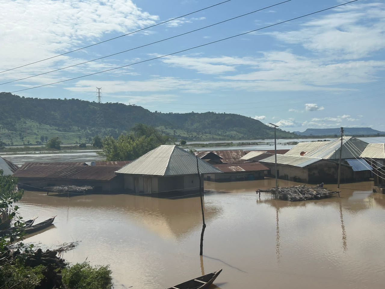
Image credit: Nbg africa
Niger's own rainfall totals sit lower than the South-South states on this list, but its position downstream of two major river systems means the water that floods it often falls somewhere else first.
So, Why Does Lagos Get the Blame?
Rainfall totals don't decide who floods. Poor drainage, refuse dumped into canals, construction on natural waterways and water released from upstream dams combine with rain to produce disasters, and Lagos has all four in large supply.
That combination is why the city keeps producing Nigeria's most visible urban flooding on comparatively less rain, while the seven states above deal with a quieter but equally dangerous problem: too much water with nowhere controlled for it to go.
NiMet's 2026 Seasonal Climate Prediction puts the country's overall rainfall range at roughly 420 millimetres in the far north to more than 3,200 millimetres along the coast, and expects a longer-than-usual rainy season in Lagos itself, along with Ogun, Oyo, Benue, Enugu, Ebonyi, Nasarawa, Anambra, Kwara, Kebbi, Kaduna, Gombe and Taraba.
The agency is urging state governments to clear drainage channels, strengthen emergency response and stop approving development on floodplains before this season peaks. Residents in flood-prone communities are being told to watch official weather advisories and take evacuation notices seriously.
Next time a flood makes headlines, check the map before you assume the city.