The Ground That Remembers Gunfire: Ojota's Forgotten Military History
Before the BRT, before the danfo, before the overhead bridge, Ojota was a firing range. This is what the name actually means
Every time a conductor leans out of a danfo and screams 'Ojota!' into the Lagos air, he is, without knowing it, invoking a 200-year-old memory of musket fire.
The name carries that history the way old walls carry smoke. Nobody has to understand it. It's just there.
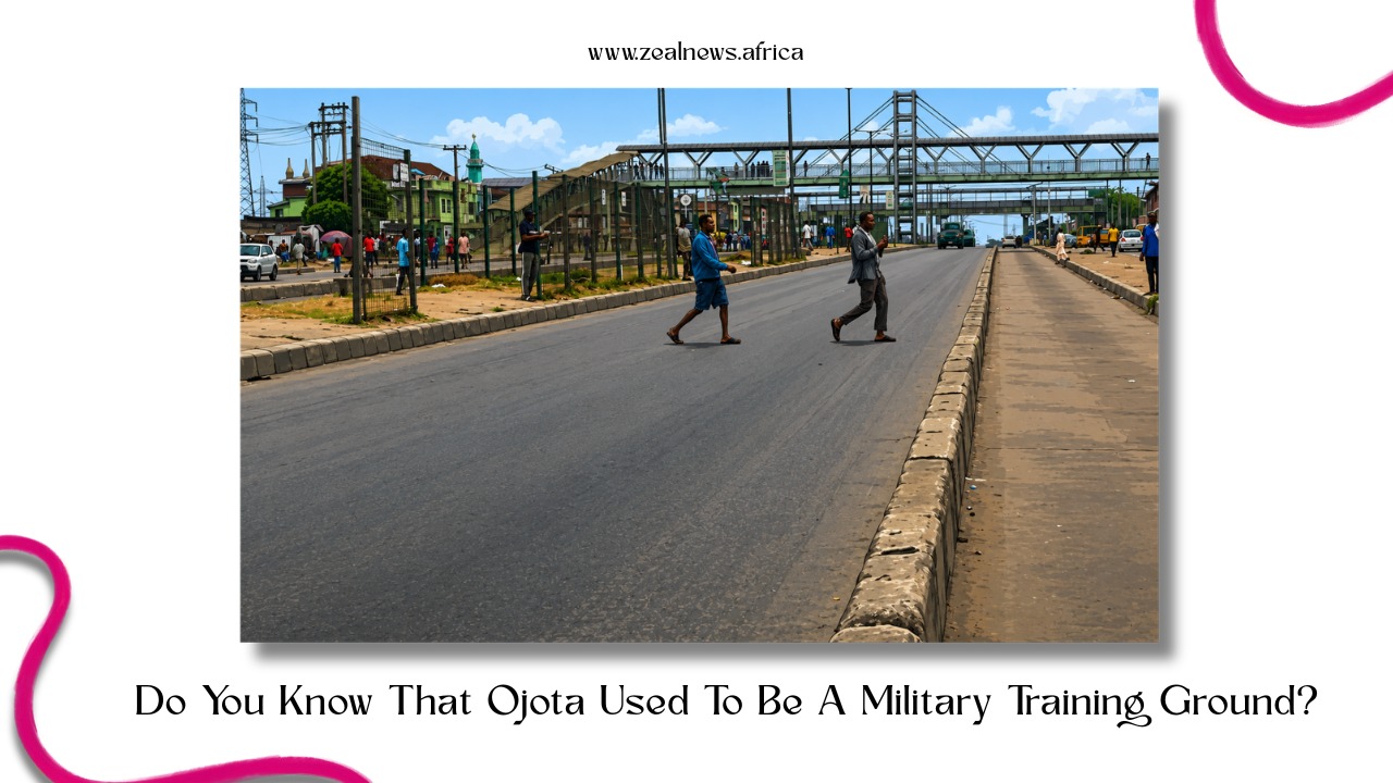
Ojota today sits at one of the most congested junctions on the Lagos Mainland, a tangle of Ikorodu Road, overhead bridges, Bus Rapid Transit (BRT) lanes,and the particular human noise of a place where hundreds of thousands of people pass through daily without ever stopping.
It is a node, not a destination. People leave from Ojota, arrive at Ojota, and transfer at Ojota. They don't think much about why it is called what it is called.
The name is the answer. 'Oju ota' in Yoruba: the place marked by bullets. A firing range. A military settlement. Soldiers standing on open ground in the late 1700s, learning to shoot, leaving their mark on the earth, and, it turned out, on the map.
Before the Gunshots, There Was Just Ground
Lagos in the 18th century was not the city it would become. It was a loose geography of settlements, lagoons, and contested land, with the island of Eko at its centre and the mainland stretching out in every direction as a kind of buffer zone; farmed, foraged, and occasionally fought over.
The Awori people, a Yoruba subgroup, had been the original settlers of the Lagos area, arriving from Isheri along the Ogun River. Their presence spread across the mainland and the islands long before the Portuguese arrived in 1472 and renamed the entire lagoon system after a coastal town in southern Portugal.
The Awori didn't call it Lagos. They called it Eko. The Benin Kingdom, which brought its own military influence southward into the territory from the 15th century onward, called it a war camp.
The area that would become Ojota was part of this mainland expanse; undifferentiated land on the northern approach to the island settlement, close enough to matter strategically, far enough from the water to be relatively untouched.
It was cleared ground. And cleared ground, in any era, has a way of attracting people who need space to practise violence.
Oju Ota: The Name that Outlived the Soldiers
By the late 18th century, the area had become a military training ground. The soldiers who used it were working with muskets; firearms that, by the standards of the era, were loud, inaccurate, and required extensive practice to operate with any competence.
The exercise of that practice left physical evidence on the landscape. Trees splintered. Earth churned. The ground absorbed what the guns released.
The people who lived nearby did what people in Lagos have always done with things they couldn't ignore: they named it.
'Oju ota' — eyes on stone, or more precisely, the place marked by bullets. Some accounts render it as 'bullet spots,' which captures the literal image well enough. The persistent crack of fire. The marked terrain. A name rising out of repetition, the way most Yoruba place names do.
History
Rewind the Stories that Made Africa, Africa
A Journey Through Time, Narrated with Insight.
Whose soldiers exactly? The historical record doesn't say with precision. Lagos in this period was a city-state nominally within the orbit of the Benin Empire but increasingly autonomous, its Obas ruling with growing independence as Benin's power contracted.
The slave trade was at its peak. Lagos was a significant port for it. Military activity in and around the city would have served multiple purposes: internal enforcement, external defence, and the particular violence required to move human beings against their will toward the ocean.
The name 'Oju Ota' compressed over generations, the way spoken language always compresses. Vowels softened, syllables collapsed, and it became Ojota.
By the time the British annexed Lagos in 1861 and began imposing their own administrative order on the mainland, the place had a name already. A name that meant nothing in English and everything in Yoruba.
Colonial Lagos and the Mainland's Slow Awakening
The British who turned Lagos into a crown colony in 1862 were primarily interested in the island. That was where the commerce was, where the Oba sat, where the slave traders had operated, and where the anti-slavery mission had, at great violence, intervened. The mainland was secondary, a zone for eventual expansion, not an immediate priority.

Still, colonial administration slowly pushed its logic across the water. Roads were laid. Settlements were mapped.
The chaos of the Yoruba wars in the interior, Ibadan fighting Egba, Ekiti rising against Ibadan, the entire hinterland in conflict through the 1870s and 1880s, pushed displaced people southward into the Lagos orbit.
The mainland swelled. Areas that had been farmland or forest or old military ground began to fill with people who needed somewhere to be.
The colonial administration formalised what local naming had already done. Ojota was Ojota on the maps because that is what people called it. The British had neither the interest nor the capacity to rename every Yoruba settlement on the Lagos mainland.
They had taken the island and given it Victoria and Broad Street and the rest. The mainland kept its own language.
Ikorodu Road, the artery that would eventually define Ojota's geography, began taking shape during the colonial period as the main route linking Lagos Island to the north.
Settlements along it gained importance simply by proximity to movement. Ojota sat at a strategic point on this route, close enough to the island to matter commercially, far enough to develop its own character as a mainland community.
From Firing Ground to Transit Hub
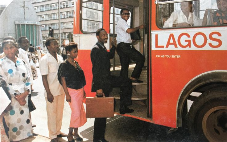
The 20th century turned the Lagos Mainland into a city. Population pressure on the island drove expansion northward and eastward. By independence in 1960, and more dramatically through the oil boom years of the 1970s, Lagos was absorbing people at a rate no planner had anticipated.
The city sprawled. Ojota, with its position on Ikorodu Road, became a junction point, the kind of place you pass through between somewhere and somewhere else.
Buses congregated there. Traders set up around the buses. More people meant more commerce meant more people. The familiar Lagos cycle. The area developed the layered density of a place that grew without a blueprint, gated residential estates set back from main roads, markets pressed against bus stops, and okada riders cutting through every gap.
History
Rewind the Stories that Made Africa, Africa
A Journey Through Time, Narrated with Insight.
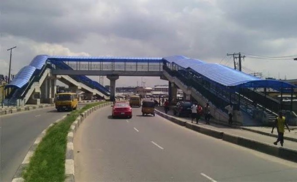
The most significant formal intervention came in 2008, when the Lagos State Government launched the BRT Lite system along the Ikorodu Road corridor, running from Mile 12 through Ojota down to CMS on the island.
It was the first dedicated bus lane system in sub-Saharan Africa, and Ojota became one of its critical interchange points.
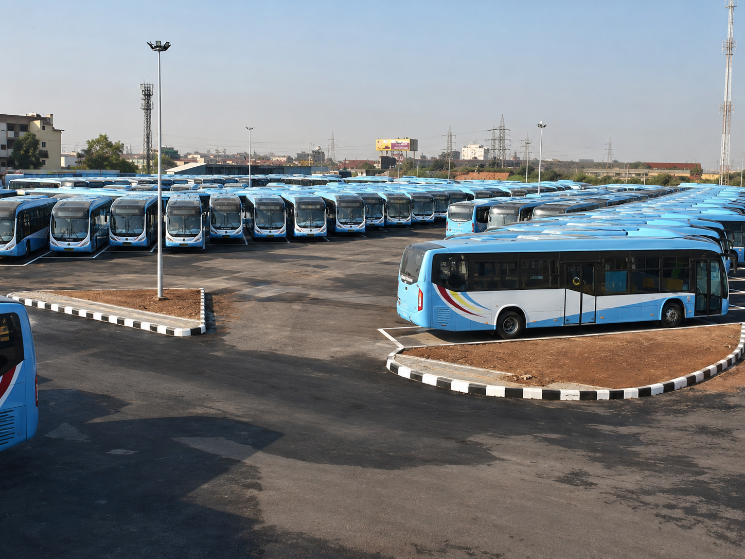
The Ketu-Ojota cloverleaf interchange at kilometre 15 of Ikorodu Road locked the area's role in the city's transport architecture. Buses from the north, buses from the east, buses from the island, all of it routing through or near a place that once existed mainly as open ground for soldiers to fire into.
The old Olusosun dumpsite, for years a smoking, sprawling embarrassment near the Ojota corridor, was cleaned up and greened under Babatunde Fashola's administration.
New bus terminals followed under subsequent governors. The infrastructure of a modern city, however imperfect, began to appear at a place that had been, two centuries earlier, nothing more than a field where someone was learning to aim a gun.
That is the thing about Lagos place names. They don't let the ground forget what happened on it. Ojota does not look like a firing range. Nothing about the BRT lanes or the overhead bridge or the hawkers selling cold water through bus windows suggests military history. But the name holds.
Every time someone says it, the 18th century is briefly, accidentally present, buried under tarmac and commerce and the noise of a city that never quite stops moving.