The History Before Nigeria: What Would Nigeria Look Like Without Colonial Borders?
Nigeria’s map was not always Nigeria. Before colonial rule, the land was divided among powerful kingdoms, empires and independent societies. So how did they become one country, who drew the borders, and what existed before them?
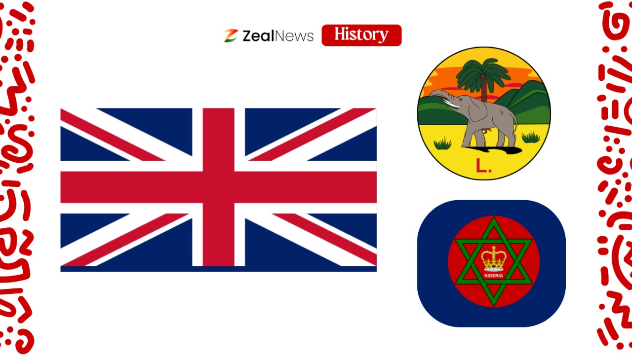
Before Nigeria existed, the land we now call Nigeria was already home to many different societies.
There were powerful kingdoms and empires, including Benin, Oyo, Kanem-Borno and, later, the Sokoto Caliphate. There were also Hausa city-states such as Kano, Katsina and Zaria, alongside many communities that were organised through villages, councils, lineages and other local political systems.
They did not all belong to the same country. They had their own rulers, political systems, territories and histories. Some traded with one another. Some fought wars. Some formed alliances, while others expanded their influence over neighbouring communities.
But there was one thing none of them called themselves: Nigerians.
There was no country called Nigeria yet.
The Nigeria we know today emerged much later, when British colonial expansion brought many of these different territories under one administration.
So how did all these separate political worlds become one country?
And what might the map look like if those colonial borders had never been created?
We cannot know exactly what would have happened. There is no alternative map sitting somewhere in history waiting to be uncovered.
But we can look at what existed before Nigeria, how Britain brought these territories together, and how the borders of the country we know today were formed.
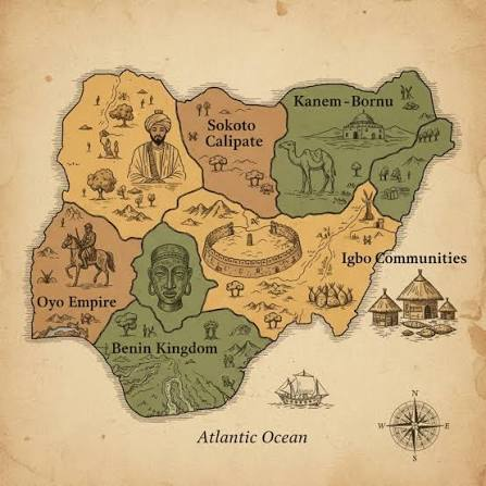
What Was Here Before There Was A Nigeria?
The first thing to understand is that there was never one single political entity covering the territory that is now Nigeria.
Precolonial societies in the region followed very different paths of political development. Some built large, centralised states. Others remained organised around smaller communities and decentralised political structures. Historians describe this as a mosaic of states and societies rather than one pre-existing Nigerian nation waiting to be assembled.
In the north, Kanem and later Borno became major powers around the Lake Chad region. By the sixteenth century, Borno was dominant in the Lake Chad basin.
Further west were the Hausa states, including Kano, Katsina and Zaria, which became important centres of trade and scholarship.
History
Rewind the Stories that Made Africa, Africa
A Journey Through Time, Narrated with Insight.
Then came the upheavals of the nineteenth century.
The jihad led by Usman dan Fodio beginning in 1804 transformed the political landscape of much of Hausaland.
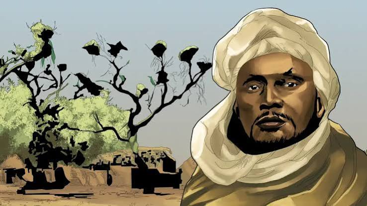
By 1808, it had produced the Sokoto Caliphate, a vast political system that extended well beyond the borders of today's northern Nigeria.
In the southwest, the Oyo Empire had developed a powerful political and military system, while the Kingdom of Benin became one of the region's major centralised states. Ile-Ife was also an important centre of political and cultural development.
And then there were societies that do not fit neatly into the familiar story of “kingdoms and empires.”

In parts of what is now southeastern and Middle Belt Nigeria, political authority was often distributed among villages, lineages, councils, age grades and other institutions rather than concentrated in one king.
That difference is important.
If colonial borders disappeared, the map would not simply break into a few enormous kingdoms corresponding neatly to today's ethnic groups. Some places had large states.
Some had smaller political units. Some had overlapping spheres of influence. Some communities were connected through trade and migration without being part of the same state.
There was no single precolonial map waiting to become modern Nigeria.
There were many maps.
So How Did All These Different Worlds Become One Country?
The answer begins partly at the coast and moves inland.
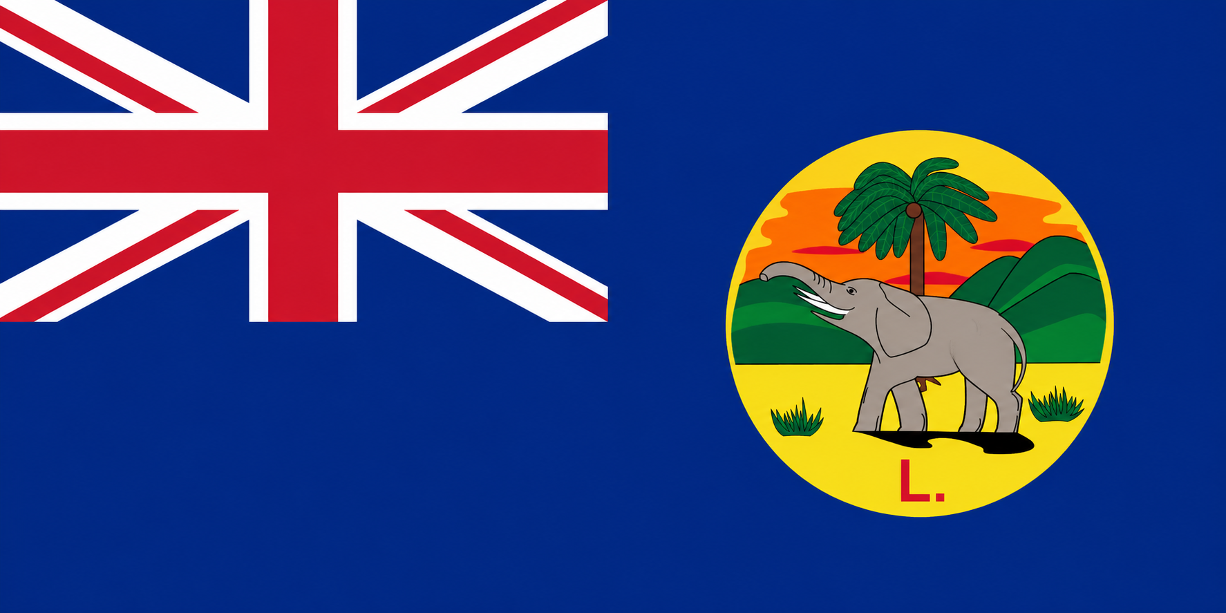
British commercial and political influence expanded during the nineteenth century. Lagos became a British colony in 1861. In the 1880s, the Royal Niger Company became an important instrument of British expansion around the Niger and Benue rivers. Britain established protectorates as its influence moved inland.
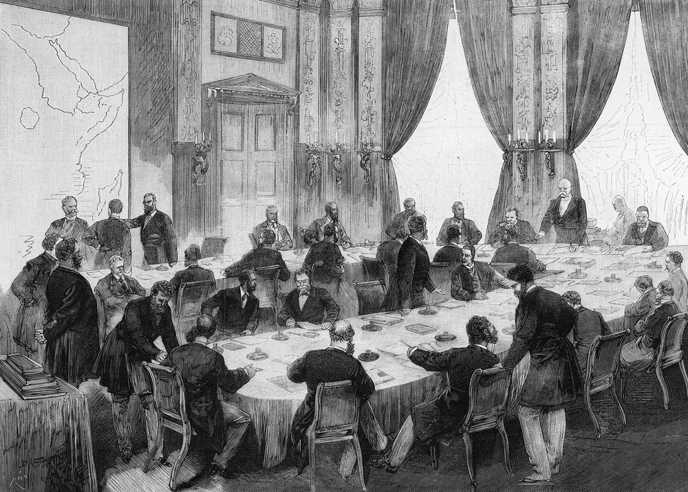
People sometimes say the Berlin Conference of 1884–85 drew the borders of Nigeria.
It did not.
History
Rewind the Stories that Made Africa, Africa
A Journey Through Time, Narrated with Insight.
The conference established rules that European powers used during the scramble for African territory. One of the important principles was “effective occupation”: European powers seeking to claim territory were expected to demonstrate actual authority there. African representatives were not participants in the conference.
The Nigerian borders were shaped through what happened afterwards: treaties, commercial agreements, military campaigns, diplomatic negotiations and competition between Britain and France.
In other words, the borders were not produced in one afternoon.
They were assembled over decades.
British agents and the Royal Niger Company negotiated treaties with African rulers, while British forces expanded control over territories where diplomacy failed or where Britain chose to use military force.
The conquest of Benin in 1897 is one example. British forces occupied Benin City, the Oba was exiled, and the kingdom was subsequently brought under British administration.
Northern expansion followed a different path. Britain eventually established the Protectorate of Northern Nigeria in 1900 after ending the charter of the Royal Niger Company. Frederick Lugard became its first high commissioner. British military campaigns subsequently brought major parts of the Sokoto Caliphate and neighbouring territories under colonial control.
And Britain was not the only European power involved.
France was expanding from the west and north.
That meant that some of the lines eventually appearing on the Nigerian map were not simply Britain deciding where Nigeria should end. They were also the result of Britain and France negotiating where their respective colonial possessions would begin and end.
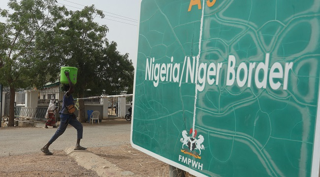
The present Nigeria-Niger boundary is a particularly revealing example.
Britain and France disagreed over the extent of the Sokoto sphere and revised their arrangements several times. A 1904 agreement helped establish the broad contours of the boundary, with negotiations increasingly taking account of towns, roads and existing political frontiers.
So even the border separating present-day Nigeria from Niger was partly the product of European negotiations over African territory.
The people living there were not simply drawing a line between themselves.
What Happened When Britain Finally Created Nigeria?
By the beginning of the twentieth century, Britain had several separate colonial administrations in the region.
History
Rewind the Stories that Made Africa, Africa
A Journey Through Time, Narrated with Insight.
There was Lagos, Southern Nigeria, and Northern Nigeria.
These were not yet one country.
In 1906, Lagos Colony was merged with the Southern Nigeria Protectorate. Then, on January 1, 1914, Britain amalgamated the Northern and Southern administrations into the Colony and Protectorate of Nigeria.
That is the moment the modern colonial state of Nigeria was formally consolidated.
But even then, “Nigeria” did not suddenly become a culturally uniform country.
The colonial government inherited a territory containing numerous peoples, languages, religions and political traditions.
The 1919 British description of Nigeria, for example, recorded a population spread among many ethnic and linguistic groups.
The new colonial state therefore brought together political societies that had histories of their own.
Some had traded with one another for centuries.
Some had fought wars against one another.
Some had belonged to larger empires.
Some had never been governed by a central monarch.
And some communities that had previously been separated by different political systems now found themselves inside the same colonial administration.
That is why asking what Nigeria would look like without colonial borders is so difficult.
We can identify the political systems that existed before the borders.
History
Rewind the Stories that Made Africa, Africa
A Journey Through Time, Narrated with Insight.
We cannot confidently say which of them would have survived, merged, expanded or disappeared.
History does not work like that.
The Oyo Empire might have continued changing. Benin might have evolved differently. Sokoto might have fragmented or remained influential. Borno might have taken another political path. Smaller societies might have formed new alliances or states.
Or none of those things might have happened.
What we can say is that the Nigeria on today's map was not the political shape of the region before colonial rule.
It was created through a long process of imperial expansion and administrative consolidation.