You may also like...
Sports Stars Dazzle at Met Gala 2026: Venus Williams and Alysa Liu Lead Fashion Charge!

The 2026 Met Gala celebrated "Costume Art" with a strong showing of athletes, from co-chairs like Venus Williams to fash...
Premier League Shocker: Everton Draw Puts Man City Title Race in Jeopardy!

The Premier League title race took a dramatic turn after Manchester City's 3-3 draw with Everton, significantly boosting...
Christopher Nolan's 'The Odyssey': New Trailer Unleashes Mythical Footage, Director Calls Homer 'Original Marvel!'

Christopher Nolan's highly anticipated 13th feature, "The Odyssey," has unveiled a new trailer, showcasing its epic scop...
Met Gala 2026: Unforgettable Fashion, Bold Statements & Unexpected Protests Rock the Red Carpet!

The 2026 Met Gala, themed "Fashion is Art," showcased opulent celebrity fashion amidst controversy surrounding lead spon...
Beyond the Mic: Uganda's Bobi Wine Reveals Literary and Lyrical Influences Shaping His Political Power
Ugandan music star and political leader Bobi Wine, currently in exile, discusses his 'people power' movement and the int...
No Forgiveness: Seun Kuti Vows Eternal Feud with Wizkid in Explosive Nigeria Music Drama
Afrobeat singer Seun Kuti has declared his rift with music star Wizkid to be permanent, stating that reconciliation is i...
King of Pop's Digital Reign: Biopic Propels Icon to Global #1 Artist
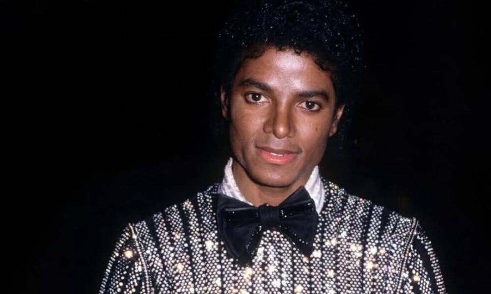
The King of Pop, Michael Jackson, has returned to global digital supremacy in May 2026, driven by the massive success of...
Iconic 'This is Fine' Creator Blasts AI Startup for Art Theft

Artist KC Green alleges AI startup Artisan stole his iconic 'This is fine' comic for a subway ad without permission, pro...