Signal No. 1 raised in Luzon as LPA strengthens into Tropical Depression Bising | Philstar.com
MANILA, Philippines — The low pressure area off Cagayan strengthened into Tropical Depression “Bising” on Friday, July 1, prompting PAGASA to raise Signal No. 1 over seven areas in Luzon.
As of 5 a.m., the state weather bureau located the center of Tropical Depression Bising 200 kilometers northwest of Calayan, Cagayan.
It was packing maximum sustained winds of 45 kilometers per hour (kph) and gusts of up to 55 kph, moving west-southwest at 20 kph.
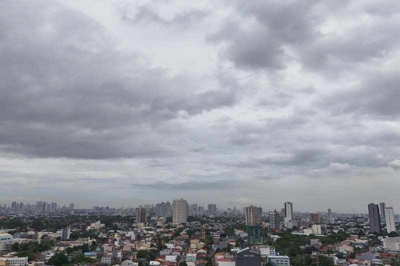
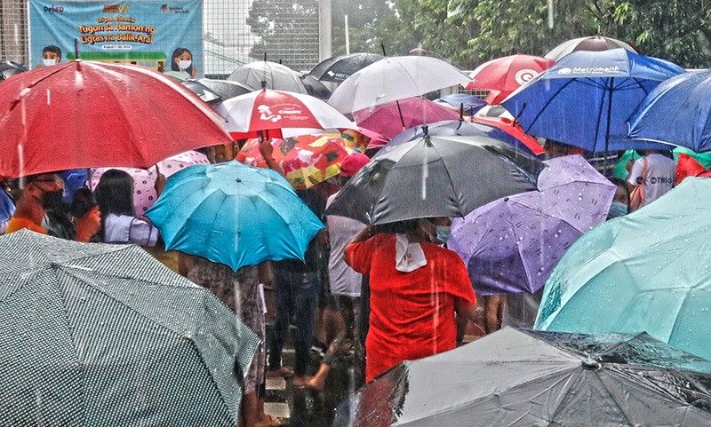
Local government units in various regions have already suspended Friday classes in public and private schools due to persistent rains brought by Bising and the southwest monsoon.
PAGASA raised the lowest tropical cyclone wind signal over the following areas due to Bising:
The state weather bureau warned that while wind impacts are expected to be minimal to minor overall, coastal and upland areas may experience stronger gusts. Winds may be weaker in areas protected from the prevailing direction.
As Bising moves across northern Luzon, Ilocos Norte is bracing for heavy rains (100-200 millimeters). Flooding in several areas of the province is expected.
Other northern provinces, particularly Batanes, Cagayan, Apayao, Abra and Kalinga, are also under threat of moderate to heavy rain (50-100 millimeters), which may lead to flash floods and landslides, especially in vulnerable communities.
At the same time, the southwest monsoon — or habagat — is intensifying rainfall in other parts of Luzon, with Pangasinan, Zambales and Bataan already experiencing heavy downpours.
Habagat is also forecast to bring moderate to heavy rainfall over the following areas on Friday:
The state weather bureau also warned of rough sea conditions off the western seaboards of the Babuyan Islands, with waves reaching up to 3 meters due to Bising.
Small vessels, including motorbancas, are advised to stay ashore.
Moderate seas with wave heights of up to 2.5 meters are also expected along the western seaboards of Ilocos Norte, Ilocos Sur, Batanes, La Union and Pangasinan.
According to PAGASA, Bising is expected to continue moving slowly westward over the next 12 hours.

Track and intensity forecast of Tropical Depression Bising as of 5 a.m., July 4, 2025.
PAGASA
It may exit the Philippine area of responsibility (PAR) within the day as it shifts northeastward.
However, Bising could also re-enter PAR by Sunday, July 6, after intensifying further into a tropical storm on Saturday, July 5 while tracking over waters south of Taiwan.