Severe storms, heavy rainfall possible in Southeast Michigan on Monday - CBS Detroit
/ CBS Detroit
CBS News Live

Showers and thunderstorms are likely Monday afternoon and evening in portions of Southeast Michigan. Isolated severe storms are possible, as well as isolated instances of flooding due to heavy rain.
The CBS News Detroit weather team has declared Monday a NEXT Weather Alert Day.
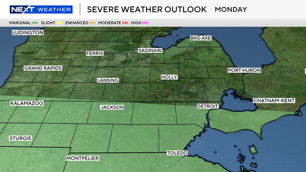
Washtenaw, Wayne, Monroe and Lenawee counties are under a marginal (1/5) risk for severe weather. Conditions look to favor a relatively brief lifespan of individual storm cells, but plenty of opportunity for additional cells to trigger from storm outflow. Stronger cells will be capable of torrential downpours with a localized damaging wind threat.
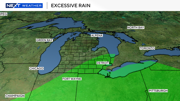
Nearly all of Southeast Michigan is at risk of excessive rainfall. Rainfall rates in excess of one inch per hour will be possible, which may produce localized instances of flooding, especially if storms stall over a particular location.
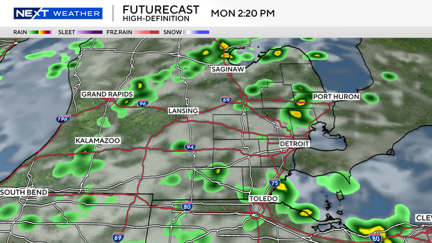
The main threat window for any severe weather and heavy rain will be between 2 p.m. and 10 p.m.
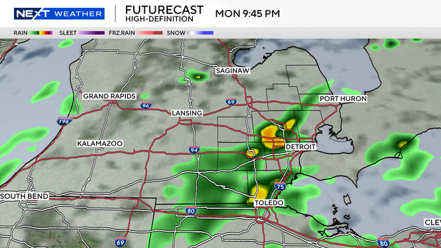
There is a possibility of additional rain overnight as a cold front moves through the area.
Stacey grew up in Mt. Morris, Michigan, and became fascinated with weather as a child after watching a tornado rip up a tree in her backyard.