Scattered rain, storms prompt flood watch for North Texas this weekend - CBS Texas
/ CBS Texas
CBS News Live

An unsettled weekend is ahead for North Texas with scattered showers and storms Saturday through Monday.
A Flood Watch is in effect for the Dallas-Fort Worth Metroplex and areas west of I-35 through 7 p.m. Sunday.
Rainfall totals of 1"-3" are likely with isolated totals of 4" or more.
Scattered showers have already developed across North Texas, and more rain is on the way.
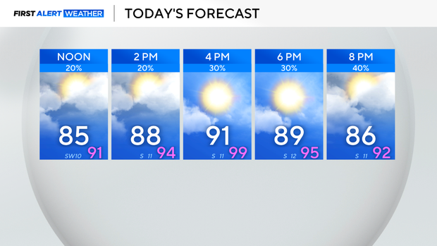
Saturday won't be a washout; showers and storms will remain scattered during the daytime as temperatures climb into the lower 90s.
It will be warm and muggy with some afternoon sunshine, and temperatures will feel in the mid to upper 90s.
Around sunset into the overnight hours, rain will increase across the area with heavy rain and flooding the main threats. Gusty winds are also possible.
High rainfall rates and slow-moving storms could lead to a couple of inches of rain in a short amount of time and localized flash flooding.
After a round of rain overnight, more scattered precipitation will continue on Sunday and increase the flooding risk.
A First Alert Weather Day has been issued for Sunday due to the potential of heavy rain and threat of localized flooding and flash flooding.
Please remember: "Turn around, don't drown."
Never drive through water-covered roads, as you don't know how deep the water is, and you could put yourself in a life-threatening situation.
Please have multiple ways to receive warnings. You can turn on weather alerts in the CBS News app for warning notifications based on your location.
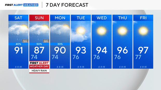
Starting Tuesday, it will begin to dry out and into the middle of next week as sunshine returns and temperatures heat back into the mid-90s.
Brittany fell in love with weather at a young age watching the sea breeze storms develop every afternoon in Tampa, Florida. She knew her career needed to entail weather and decided becoming a broadcast meteorologist was the path for her.