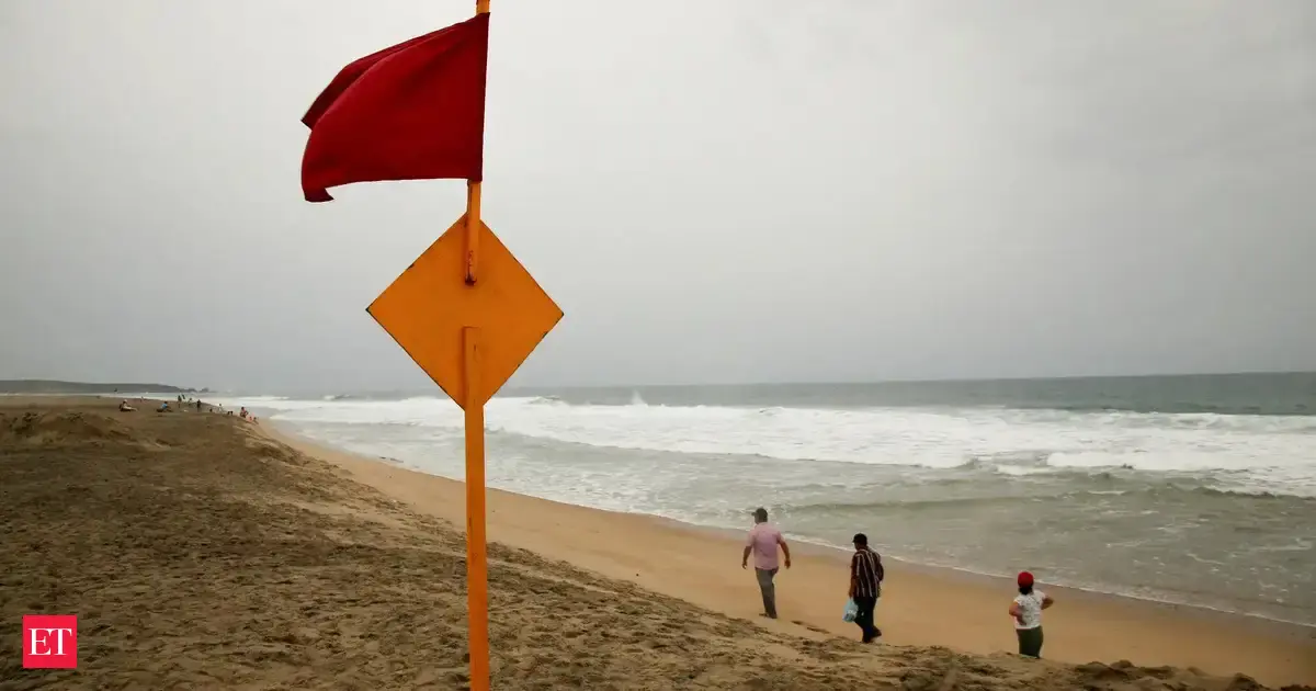
(BOM), has issued a warning for the residents of New South Wales along the East Coast to stay cautious and gear up for a “bomb cyclone.” According to the weather agency, It has been described as a low-pressure system that developed “very quickly”, causing pressure to drop significantly within a short period of time.The system can possibly bring 250 mm of rain, and winds can blow up to 125 km, according to The NIGHTLY. The Bureau of Meteorology’s Daniel Hayes stated that the trough was sitting off NSW and would bring showers and possible thunderstorms to northern parts of the coast on Monday, June 30, 2025. “Pretty much from the Mid-North Coast up towards the Northern Rivers,” he said, News Australia reported.
“As we see that continue to deepen and strengthen up, the focus for the rainfall will be on the south side of that low pressure system. So around more Central Coast areas through Tuesday (June 30, 2025) and potentially further south along the coast, as the low-pressure system itself shifts further south through Tuesday and into Wednesday,” he added.
Sydney could witness more than 200 mm of rain in the first few days of July. Besides that, parts of the Mid-North Coast could also record up to 300 mm. As NSW readies itself for unpredictable and wild weather conditions, the State Emergency Service (SES) in the region has now activated all 11,000 of its volunteers, and preparations are underway. They are also requesting members of the community to get ready.
Speaking on the dangerous weather conditions and preparedness in the region, NSW SES Acting Assistant Commissioner Allison Flaxman said that property damage from destructive winds and flash flooding was significantly risky amid the “dynamic” weather system.
“People should prepare now by tying down any loose items around their homes so they don’t become projectiles and damage property in the forecast wind. Be alert today so you’re safe tomorrow by understanding your risk and planning what you will do and where you will go if you are impacted by flash flooding or riverine rises,” she said.
An initial flood warning has been issued by the BOM for several NSW catchments, including the Hawkesbury-Nepean, Georges, Cooks, Sydney Coast, and Illawarra Coast, News Australia reported. Hayes said flood warnings had been issued to cover “a fairly wide area” at this stage, given the uncertainty of the system’s movements.
“We could see some flash flooding as well as river flooding out of this system, depending on just how quickly some of this rainfall falls and how concentrated those falls are in local areas,” he said.
“We do expect to see further warnings issued for NSW today, basically for the developing situation. Once the system starts to have some significant impacts, there could be additional, more localised warnings issued ... so certainly people (should) keep an eye out for warnings and track the situation,” he further stated.