NJ WFO PHILADELPHIA Warnings, Watches, and Advisories
WFO PHILADELPHIA Warnings, Watches and Advisories for Friday, May 16, 2025
_____
SEVERE THUNDERSTORM WARNING
Severe Weather Statement
National Weather Service Mount Holly NJ
659 PM EDT Fri May 16 2025
...A SEVERE THUNDERSTORM WARNING REMAINS IN EFFECT UNTIL 745 PM EDT
FOR SUSSEX...NEW CASTLE...KENT...CUMBERLAND...SALEM...GLOUCESTER AND
NORTHWESTERN CAPE MAY COUNTIES...
At 658 PM EDT, severe thunderstorms were located along a line
extending from Saint Georges to near Woodland Beach to near
Greensboro to Sharptown, moving east at 50 mph. These storms have a
history of producing damaging winds across a eastern Maryland.
HAZARD...70 mph wind gusts and ping pong ball size hail.
SOURCE...Trained weather spotters.
IMPACT...People and animals outdoors will be injured. Expect hail
damage to roofs, siding, windows, and vehicles. Expect
considerable tree damage. Wind damage is also likely to
mobile homes, roofs, and outbuildings.
Locations impacted include...
Wilmington, Vineland, Dover, Newark, Millville, Bridgeton,
Middletown, Georgetown, Cumberland, Glassboro, Pennsville, Smyrna,
Milford, Pitman, Carneys Point, Seaford, Elsmere, New Castle, Penns
Grove, and Salem.
PRECAUTIONARY/PREPAREDNESS ACTIONS...
Remain alert for a possible tornado! Tornadoes can develop quickly
from severe thunderstorms. If you spot a tornado go at once into the
basement or small central room in a sturdy structure.
Prepare immediately for large hail and damaging winds. People outside
should seek shelter inside a well-built structure and away from
windows.
Frequent cloud to ground lightning is occurring with these storms.
Move indoors immediately. Lightning is one of nature's leading
killers. Remember, if you can hear thunder, you are close enough to
be struck by lightning.
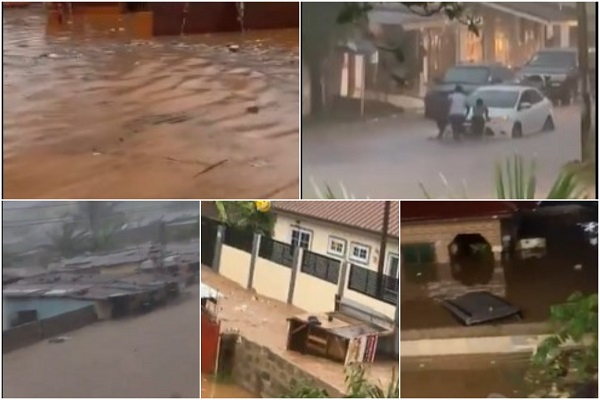
Torrential rainfall is occurring with these storms, and may lead to
flash flooding. Do not drive your vehicle through flooded roadways.
_____
Copyright 2025 AccuWeather


:max_bytes(150000):strip_icc():focal(742x371:744x373)/Angelina-Jolie-Chopard-dinner-051625-1-3e3c829e804a4036a3590c4919cdcf2c.jpg)