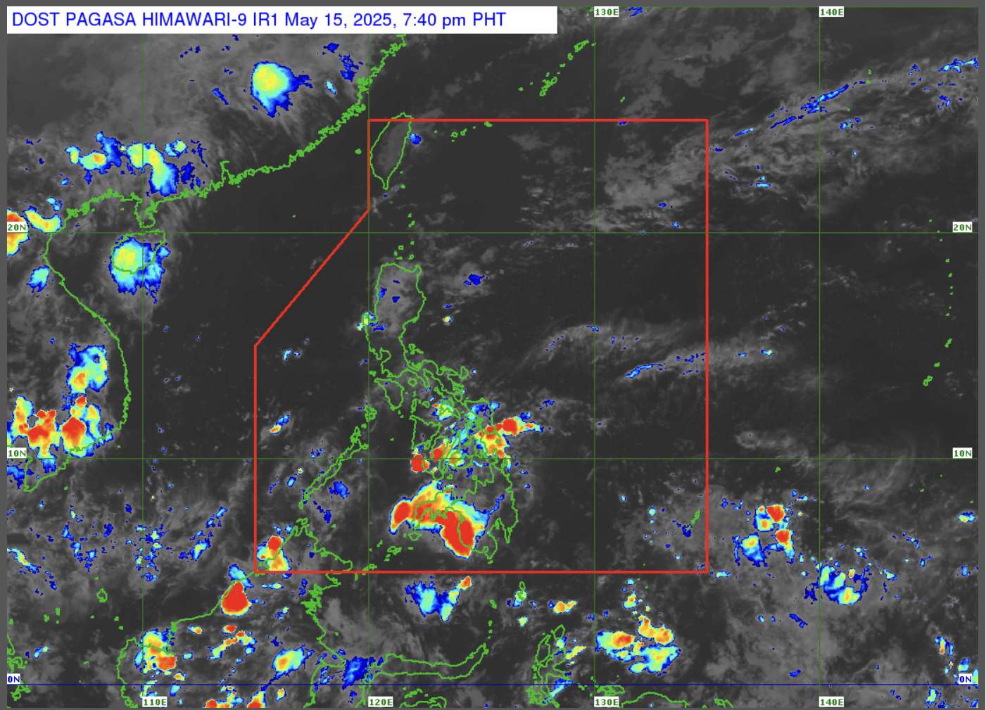
LPA outside PAR becomes tropical depression - Pagasa

The Philippine Atmospheric, Geophysical, and Astronomical Services Administration (Pagasa) says that the low pressure area monitored outside the Philippine area of responsibility develops into a tropical depression as of Sunday, June 22, 8 p.m. —Photo by Pagasa/Facebook
MANILA, Philippines — The low pressure area (LPA) monitored outside the Philippine area of responsibility (PAR) developed into a tropical depression on Sunday evening, according to the Philippine Atmospheric, Geophysical, and Astronomical Services Administration (Pagasa).
Article continues after this advertisement
In an advisory, the Pagasa said that LPA was spotted 2,560 kilometers east-northeast of extreme northern Luzon as of 8 p.m. It was moving northwestward at 10 kilometers per hour (km/h).
The LPA was also sustaining maximum winds of 55 km/h and gustiness of 70 km/h.
During the 5 p.m. weather forecast, Pagasa weather specialist Veronica Torres said that the LPA will have no direct effect on the country and will not likely enter the PAR “for now.”
Torres also said that the southwest monsoon, or the habagat, will bring rains in Metro Manila, western portion of Central Luzon and Southern Luzon, and Visayas and Mindanao. Meanwhile, fair weather and partly cloudy to cloudy skies with chances of localized thunderstorms are expected over the rest of Luzon. /cb
Your subscription could not be saved. Please try again.
Your subscription has been successful.