High risk of tropical development off US Atlantic coast - NewsBreak
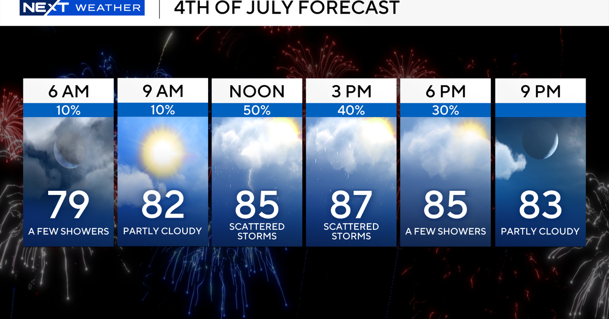
A budding area of showers and thunderstorms along the southern Atlantic coast is forecast to organize during the extended Independence Day weekend and could become the third tropical storm of the 2025 season.
A zone that has been on AccuWeather meteorologists' radar since mid-June is on the verge of evolving into a tropical rainstorm, which may be the first step toward becoming a tropical depression or tropical storm in a matter of several days.
Tropical development along the United States' southern Atlantic coast is now likely into this weekend, but because of an influx of dry air and wind shear farther west, the low-risk zone for potential development in the northeastern and north-central Gulf has been dropped.

The first impacts of the tropical area nearby in the Atlantic will be from sporadic showers and thunderstorms off the east coast of Florida. The process will evolve through the end of the week.
"This will be a classic example of homegrown development, by which a tropical depression or storm may form close to the southeast Atlantic coast and in an area where it is typical for July," AccuWeather Lead Hurricane Expert Alex DaSilva said on air Thursday morning.

As this occurs, barometric pressure will fall. Next, the zone should begin to develop a circular wind field, which will cause breezes to stiffen along the coast and over adjacent Atlantic waters. Seas and surf will build from the Florida Atlantic coast to the North Carolina Outer Banks during the extended Independence Day weekend.
"Waters are sufficiently warm in the region, generally in the 80s F, plus the Gulf Stream will continuously feed warm water as seas become rough and upwelling begins," DaSilva said.

There are two deterrents working against explosive development. One is proximity to land, and the other is moderate wind shear or disruptive breezes in the lower and middle parts of the atmosphere, DaSilva explained.
AccuWeather will likely soon declare the system a tropical rainstorm to raise public awareness of meteorologists' concern for locally heavy rain, gusty thunderstorms and potentially dangerous seas and surf.

"Steering breezes will likely guide the area of tropical interest northward during the weekend to early next week," DaSilva said. "How long it is able to remain over water may determine how strong it is able to become in terms of winds and extent of heavy rain."
Should the mass of showers and thunderstorms evolve into a tropical storm, the next name on the list for the 2025 Atlantic hurricane season is Chantal, following Andrea and Barry from June.

Current indications are that a zone of clouds and downpours with locally gusty winds may move northward along the mid-Atlantic coast early next week, which could limit a building area of heat from the Midwest. However, just west of the influence of the tropical downpours, heat could be enhanced over the Appalachians.
"Elsewhere in the tropical Atlantic, we see a vast area of dry air, wind shear and Saharan dust that will limit or prevent tropical development in the short term, and that is not unusual for July," DaSilva said.

Meanwhile, in the eastern Pacific, a new area of showers and thunderstorms is projected by AccuWeather to evolve soon into the next tropical depression and storm for the eastern Pacific.

The next name on the list for the 2025 season is Gil.
Want next-level safety, ad-free? Unlock advanced, hyperlocal severe weather alerts when you subscribe to Premium+ on the AccuWeather app. AccuWeather Alerts™ are prompted by our expert meteorologists who monitor and analyze dangerous weather risks 24/7 to keep you and your family safer.