Monsoon covers Odisha; several dists likely to get rain in next 3 days | Bhubaneswar News - Times of India

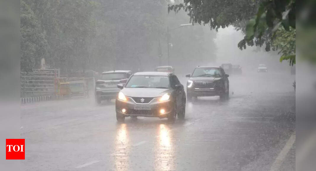
Bhubaneswar: The southwest monsoon covered Odisha entirely on Tuesday, bringing widespread rainfall across the state. Triggered by a persistent low-pressure area over southwest Bangladesh and adjoining Gangetic West Bengal, heavy to very heavy rain is likely to batter several districts until June 20, according to the IMD.
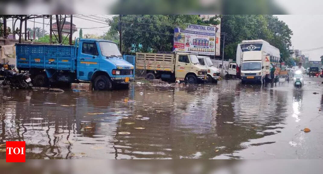
Several parts of Odisha received moderate to heavy rain in the last 24 hours."Most parts of Odisha received normal to heavy rainfall in the last 24 hours. In the next three days, several districts of the state are likely to witness heavy rainfall," said Manorama Mohanty, director of IMD's Bhubaneswar centre.She added that monsoon seasonal cumulative rainfall from June 1 to 17 in the state was recorded at 73 mm against the normal value of 91.4 mm.
During this period, Deogarh district recorded large excess rain with 134.4 mm rainfall in the last 24 hours. Five districts recorded excess rain, 12 districts recorded normal rain, while 11 districts were deficient and Malkangiri district was in the large deficient category. As many as 12 places across the state recorded heavy rainfall in the last 24 hours, IMD sources said.The IMD issued a warning for heavy rainfall in districts like Keonjhar, Mayurbhanj, Sundargarh and Jharsuguda until June 18, while similar conditions are likely in Mayurbhanj district until June 19.
Since the sea conditions are likely to be rough to very rough, fishermen have been advised not to venture into the sea until June 18.The IMD also warned of potential impacts of rainfall, including localised flooding in urban areas, waterlogging, uprooting of trees, traffic disruption and minor damage to kutcha houses and crops. Maximum temperatures have dropped significantly across the state; however, high humidity levels are causing discomfort in some areas. Bhubaneswar recorded a maximum temperature of 31.6°C and received 14 mm rainfall in the last 24 hours.