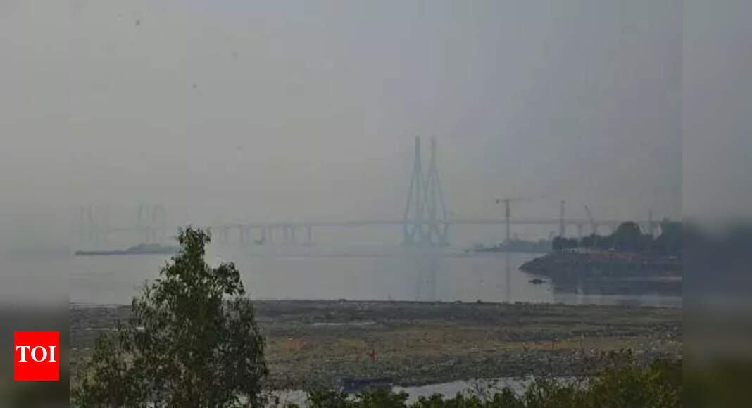
IMD: Rain activity to persist this wk; orange alert for Thane on Fri

Mumbai: For Thane, the India Meteorological Department (IMD) has issued an orange alert for Friday, indicating heavy to very heavy rainfall, lightning, and gusty winds at isolated places, and a yellow alert for Thursday and Saturday.
For Mumbai, the IMD has issued a yellow alert till Saturday, indicating heavy rainfall, thunderstorms, lightning, and gusty winds at isolated places.Weathermen have forecast moderate rainfall on Sunday. In the 24-hour period ending Wednesday 8.30am, Santacruz recorded 62mm rainfall — just shy of the ‘heavy rain' mark — and Colaba 22.9mm. Area-specific data indicated that Tuesday's downpour was concentrated in the western su-burbs, with Jogeshwari recording 79mm of rain, Andheri (E) 67mm, and Borivli 65mm between 6pm and 11pm.
Both the Colaba and Santacruz observatories have recorded over 100mm rainfall in May so far.Experts attribute the intense pre-monsoon activity to abundant moisture feed, daytime heating, wind convergence, and a developing depression—likely to become a cyclone off the Konkan coast. Shubhangi Bhute, head of IMD Mumbai, said: "The upper air cyclonic circulation extending up to mid-tropospheric level over east-central Arabian Sea off North Karnataka-Goa coast persists over the same region at Wednesday 8.30am.
Under its influence, a low-pressure area is likely to form...in the next 12 hours. Thereafter, it is likely to move nearly northwards and intensify into a depression in subsequent 36 hours."Weather enthusiast Athreya Shetty said, "The rare low latitude western disturbance that triggered the first pre-monsoon showers on 7 May left behind a stream of moisture-laden westerlies from Arabian Sea. The western disturbance also got rid of the Arabian Sea anticyclone, which usually brings us hot and dry summer weather....
As a result, there's been a steady feed of plenty of moisture. This, combined with local daytime heating, convergence, and now the developing depression (likely to become a cyclone) off the Konkan coast, has led to a resurgence in moderate to heavy pre-monsoon spells across MMR.
"Mumbai: For Thane, the India Meteorological Department (IMD) has issued an orange alert for Friday, indicating heavy to very heavy rainfall, lightning, and gusty winds at isolated places, and a yellow alert for Thursday and Saturday.
For Mumbai, the IMD has issued a yellow alert till Saturday, indicating heavy rainfall, thunderstorms, lightning, and gusty winds at isolated places. Weathermen have forecast moderate rainfall on Sunday. In the 24-hour period ending Wednesday 8.30am, Santacruz recorded 62mm rainfall — just shy of the ‘heavy rain' mark — and Colaba 22.9mm. Area-specific data indicated that Tuesday's downpour was concentrated in the western su-burbs, with Jogeshwari recording 79mm of rain, Andheri (E) 67mm, and Borivli 65mm between 6pm and 11pm.
Both the Colaba and Santacruz observatories have recorded over 100mm rainfall in May so far.Experts attribute the intense pre-monsoon activity to abundant moisture feed, daytime heating, wind convergence, and a developing depression—likely to become a cyclone off the Konkan coast. Shubhangi Bhute, head of IMD Mumbai, said: "The upper air cyclonic circulation extending up to mid-tropospheric level over east-central Arabian Sea off North Karnataka-Goa coast persists over the same region at Wednesday 8.30am.
Under its influence, a low-pressure area is likely to form...in the next 12 hours. Thereafter, it is likely to move nearly northwards and intensify into a depression in subsequent 36 hours."Weather enthusiast Athreya Shetty said, "The rare low latitude western disturbance that triggered the first pre-monsoon showers on 7 May left behind a stream of moisture-laden westerlies from Arabian Sea. The western disturbance also got rid of the Arabian Sea anticyclone, which usually brings us hot and dry summer weather.... As a result, there's been a steady feed of plenty of moisture. This, combined with local daytime heating, convergence, and now the developing depression (likely to become a cyclone) off the Konkan coast, has led to a resurgence in moderate to heavy pre-monsoon spells across MMR.
"