CSU Maintains Forecast for Above-Average 2025 Hurricane Season in June Update
The Atlantic hurricane season is still on track to be more active than usual, according to a June outlook released by Colorado State University’s Tropical Meteorology Project on Wednesday. The report highlights very warm sea temperatures and favorable environmental conditions conducive to cyclone development.
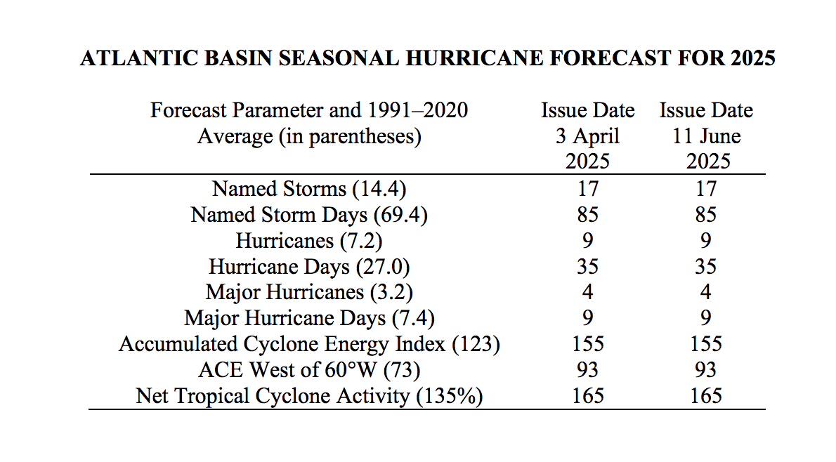
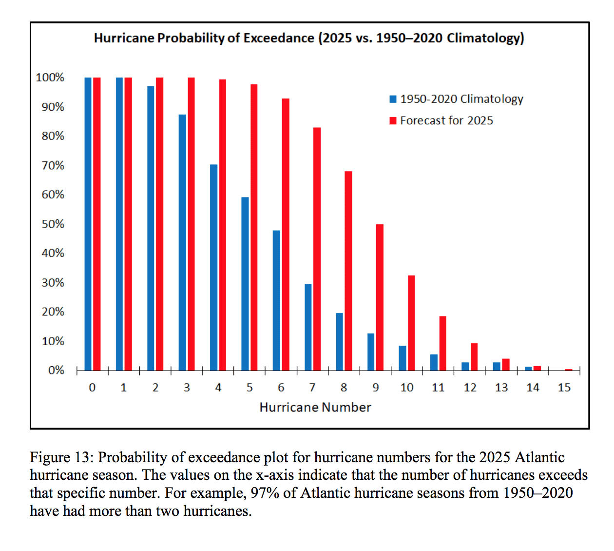
“Information obtained through May indicates that the 2025 Atlantic hurricane season will have activity above the 1991–2020 average,” the CSU report said. “We estimate that 2025 will have 17 named storms (average is 14.4), 85 named storm days (average is 69.4), 9 hurricanes (average is 7.2), 35 hurricane days (average is 27.0), four major (Category 3, 4, or 5) hurricanes (average is 3.2) and nine major hurricane days (average is 7.4). The probability of U.S. and Caribbean major hurricane landfall is estimated to be above its long-period average. We predict Atlantic basin Accumulated Cyclone Energy (ACE) and Net Tropical Cyclone (NTC) activity in 2025 to be approximately 125 percent of their long-term averages,” CSU explained.
“We have maintained the same forecast numbers that we had with our April outlook,” the CSU noted.
While it’s impossible to predict precisely how a hurricane season will unfold, meteorologists and researchers base their seasonal outlooks on a combination of current atmospheric and oceanic conditions and decades of historical data to help project what could occur.
Forecasters closely monitor several key indicators, including sea surface temperatures and the El Niño–Southern Oscillation cycle, which encompasses the El Niño, La Niña, and ENSO-neutral phases and can significantly affect wind shear across the Atlantic Ocean. Experts also analyze forecasts for the West African Monsoon, which helps determine the frequency and strength of tropical waves emerging off Africa’s west coast. Many of these environmental signals appear favorable for tropical cyclone development this season.
“The tropical Pacific is currently characterized by ENSO-neutral conditions,” the CSU update explained. “Our best estimate is that ENSO-neutral conditions will likely persist throughout the hurricane season. Sea surface temperatures in the eastern and central tropical Atlantic are slightly warmer than normal, although not as warm as they were last year at this time,” CSU continued.
“A warmer-than-normal Atlantic combined with ENSO-neutral conditions typically favors an active Atlantic hurricane season via dynamic and thermodynamic conditions that are conducive for developing hurricanes, such as low vertical wind shear and increased upper ocean heat content,” CSU stated.
The Source contacted Phil Klotzbach, Ph.D., a senior research scientist with the Department of Atmospheric Science at CSU, for additional details regarding the latest hurricane season forecast.
“The CSU forecast released on June 11 is the exact same as the CSU forecast released on April 3, and there have been no changes to predictions for storm counts, Accumulated Cyclone Energy, or landfall probabilities,” Klotzbach said. “The forecast has trended close to what we anticipated from our prior outlook, and I would say that, so far, we haven’t seen any massive surprises. However, the season is just getting underway, so there is plenty of time for surprises to happen,” he acknowledged.
Klotzbach noted that while sea surface temperatures are slightly cooler than in 2024, they are still well above average. The CSU report cited recent strong trade winds across the Atlantic Ocean as one of the reasons why the ocean temperature has not significantly warmed.
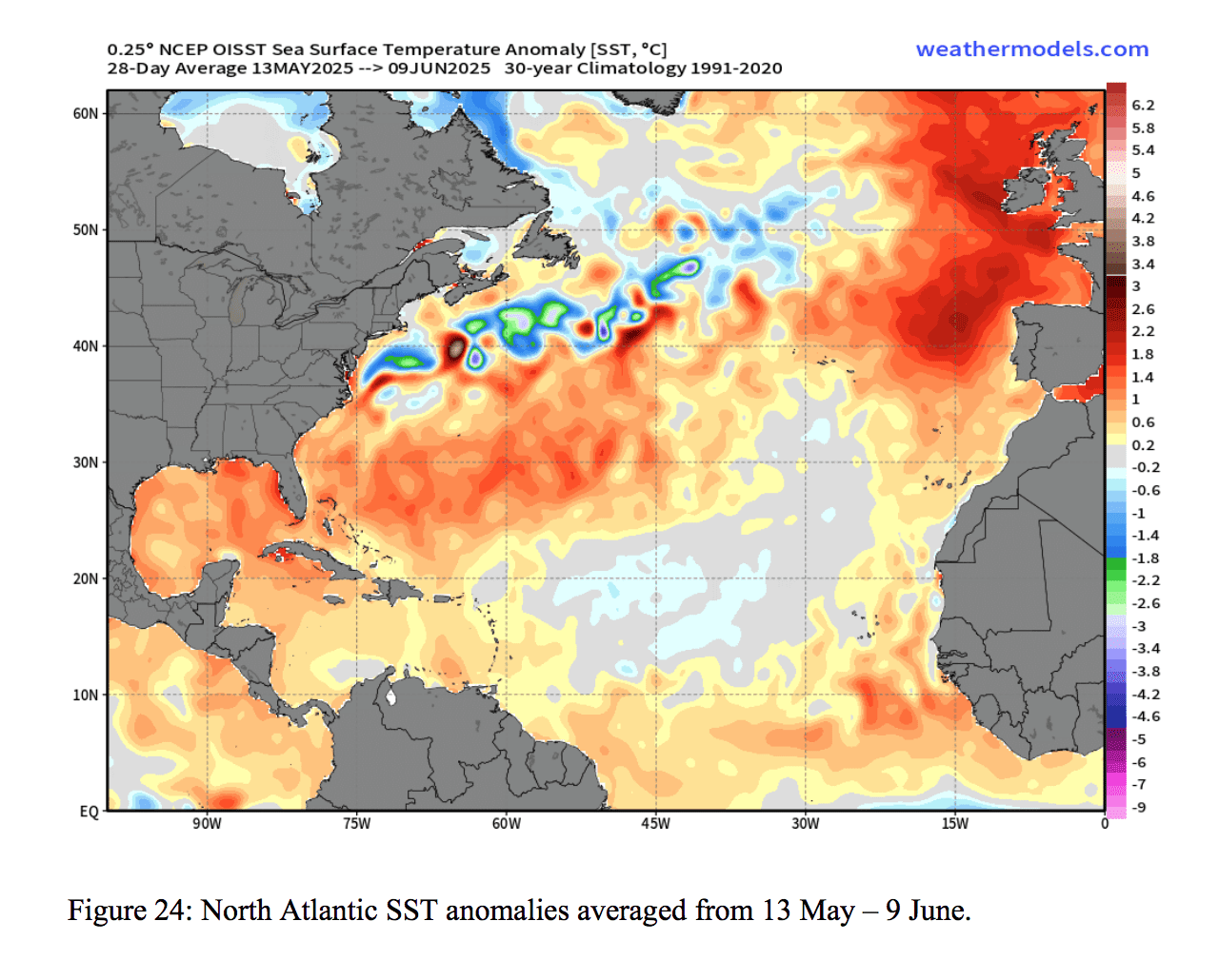
“Very strong trades in recent weeks across the Caribbean have led to significant anomalous sea surface cooling in that region. Strong trade winds lead to enhanced evaporation and mixing, favoring anomalous cooling. However, water temperatures across the Caribbean Sea remain somewhat above normal,” the CSU report stated.
“While the Atlantic is not as warm as last year, it is still generally warmer than normal across most of the Atlantic basin,” Klotzbach explained. “We aren’t able to say much at this long lead time if storms are more likely to form farther east or west in the Atlantic basin. Generally, since we expect ENSO-neutral conditions, we would expect to see relatively hurricane-conducive shear conditions in the Caribbean,” he said. “Consequently, we could see more storm activity in the western half of the basin, but there’s not a lot we can say this far out.”
Klotzbach shared further details about the ENSO-neutral pattern that is predicted to continue.
“Our best estimate is that we will likely have ENSO-neutral conditions given current and predicted wind patterns across the tropical Pacific,” Klotzbach said. “The National Oceanic and Atmospheric Administration also gives a relatively high chance for ENSO-neutral conditions for August through October, the peak three months of the hurricane season,” he stated.
“We expect these ENSO-neutral conditions to lead to relatively hurricane-favorable wind shear conditions across the tropical Atlantic and Caribbean.”
The Atlantic hurricane season, which began on June 1, has been relatively quiet thus far. Klotzbach shared thoughts on when the Atlantic basin could potentially see its first named storm of the season.
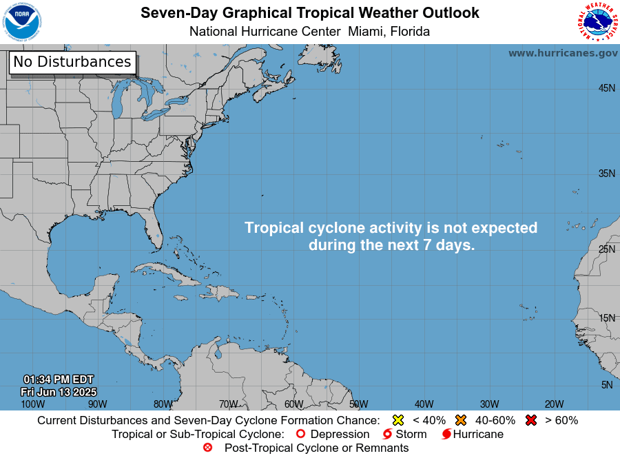
“So far, we’ve had quite strong vertical wind shear in the Caribbean, which has reduced any potential storm formations in that region,” Klotzbach said. “Typically, the season is quiet in June and July, so having no activity through mid-June is quite common. Our first named storm in the Atlantic basin doesn’t form, on average, until June 20,” he noted.
Notably, while the Atlantic basin has been inactive, the Eastern Pacific basin has been busy with tropical activity. Several named storms have formed so far this year in the Pacific Ocean near the south coast of Mexico, and the National Hurricane Center is currently monitoring additional areas for possible development.
Weather Updates
Klotzbach shared predictions of tropical activity across the USVI, as well as advice for residents and visitors across the territory about hurricane season.
“There is nothing we can say specifically about the U.S. Virgin Islands, but we do have elevated landfall probabilities for the entire western Atlantic, given what we consider to be broadly hurricane-favorable large-scale conditions,” Klotzbach noted. “I would say to residents of the U.S. Virgin Islands that now is the time to prepare for the hurricane season. There are great resources out there for preparing, including information from Ready.gov,” he added.
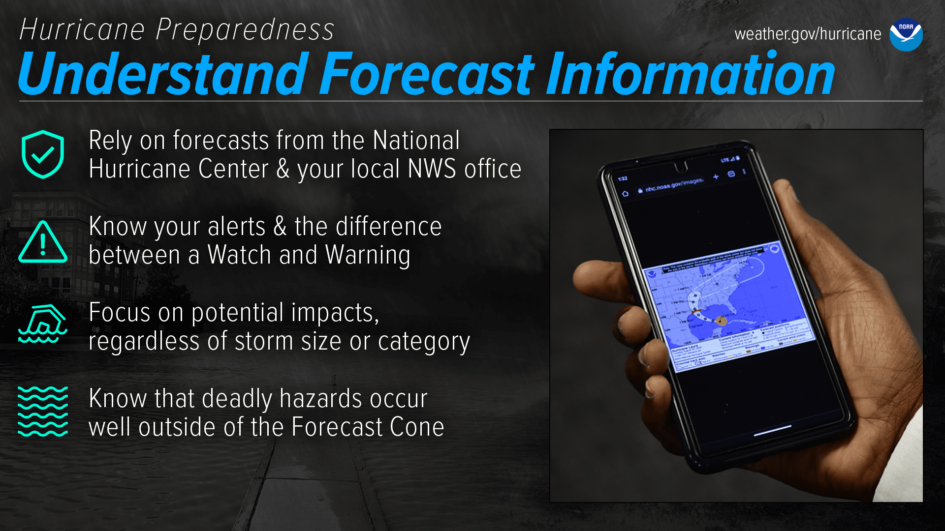
USVI residents and visitors can find weather information from the National Hurricane Center, the National Weather Service, and NOAA. Additionally, the Virgin Islands Territorial Emergency Management Agency offers residents and visitors the opportunity to sign up for emergency alerts.
Finally, the local weather forecast for the U.S. Virgin Islands is regularly updated on the Source Weather Page and VI Source YouTube Channel. Individuals can also find helpful weather information and alerts from the Virgin Islands Territorial Emergency Management Agency.