WPC MPD 597
Published 1 day ago• 3 minute read
WPC Met Watch
Mesoscale Precipitation Discussion: #0597 (Issued at 342 PM EDT Sat Jul 05 2025 )
MPD Selection

Last Updated: 342 PM EDT Sat Jul 05 2025
Mesoscale Precipitation Discussion: #0597 (Issued at 342 PM EDT Sat Jul 05 2025 )
MPD Selection
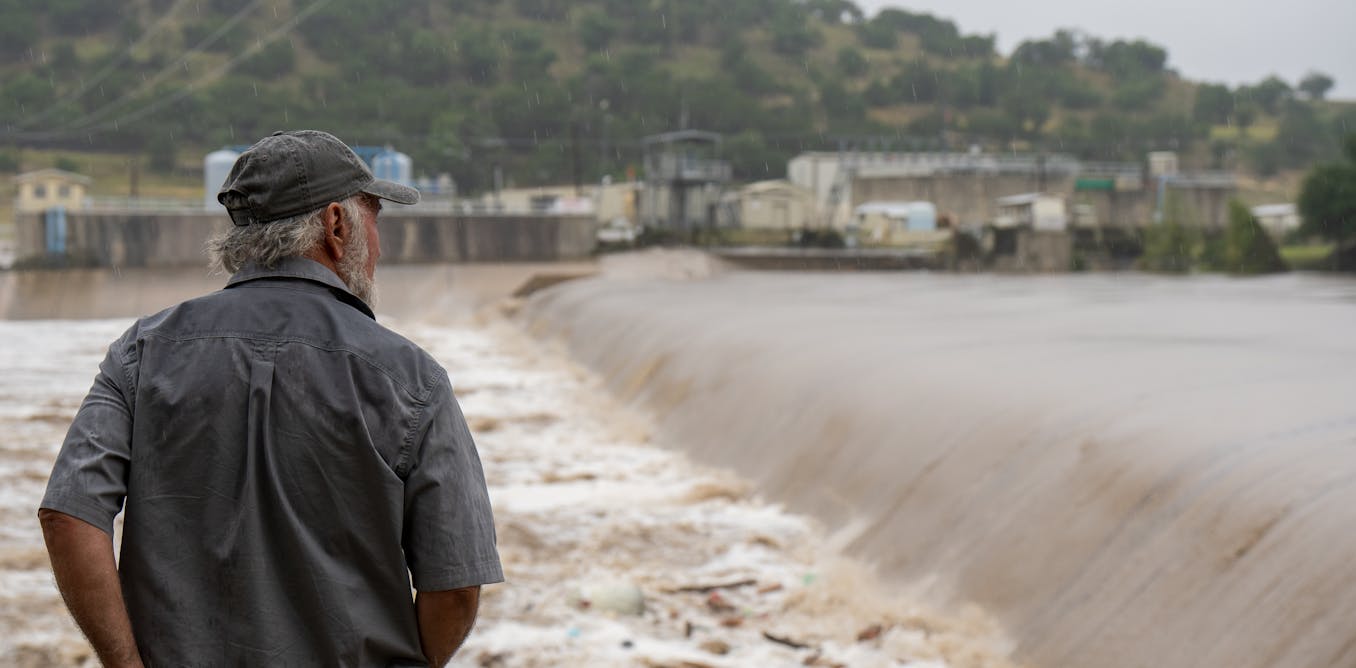
Mesoscale Precipitation Discussion 0597 NWS Weather Prediction Center College Park MD 342 PM EDT Sat Jul 05 2025 Areas affected...Texas Hill Country Concerning...Heavy rainfall...Flash flooding likely Valid 051940Z - 060100Z SUMMARY...Additional thunderstorms containing prolific rainfall rates up to 3"/hr are expected this afternoon in parts of the Texas Hill Country. Any additional rainfall will likely exacerbate ongoing flash flooding. DISCUSSION...GOES-19 visible imagery and Doppler Radar continues to paint a messy picture of lingering thunderstorms over Burnet county and points east to the I-35 corridor north of Austin. Visible imagery shows that the bulk of the cloud cover and residual showers are on the southern and eastern flank of the MCV. While this is helping to reduce instability on those flanks, visible satellite imagery also show modest surface-based heating on the western flank of the MCV, including in Mason and LLano counties. 3-hr RTMA shows theta-e increases and MLCAPE rising >800 J/kg during this same time. There remains a healthy surge of low-level moisture out of the western Gulf with tropical PWATs ranging between 2-2.5". The 18Z HRRR is showing back-building convection into the western portion of the highlighted region over the next few hours. Area averaged soundings over Mason/Llano counties show veering winds at low-levels with >2,000 MLCAPE available, PWATs >2.0", and warm cloud layer wind speeds <10 kts. RAP soundings also show warm cloud layers remains over 14,000ft deep for much of the region and low-mid level relative humidity levels are averaging ~90%. These slow motions, particularly near MCV, will result in self-sustaining thunderstorms that continue to produce prolific rainfall rates this afternoon. This is evident in the storms in southern Burnet county where MRMS 15-minute estimated rainfall rates have approached 1.0" in some cases, implying hourly rates as high as 4" are still possible in the more robust cells. Soils in these areas will struggle to handle 1"/hr rainfall rates, let 15 minute rainfall rates approaching 1". Note that eastern areas will still contend with storms, but the swath of heaviest rainfall should start to shift to the western flank of the MCV. These storms and their prolific rainfall rates within the more intense storms will continue to exacerbate ongoing flooding within the region, as well as any ongoing cleanup and search/rescue efforts. Additional significant to life-threatening flash flooding is anticipated this afternoon. Storms should diminish later this evening as storms eat away at the available instability and the MCV gradually weakens. Mullinax ATTN...WFO...EWX...FWD...SJT... ATTN...RFC...FWR...NWC... LAT...LON 31659890 31489768 31389735 30929702 30409702 29729736 29379823 29549881 29929912 30409987 31369983Download in GIS format: Shapefile | KML
Loading...
Loading...
You may also like...


Loading...