Pagasa forecasts 2 tropical cyclones this month | Inquirer News

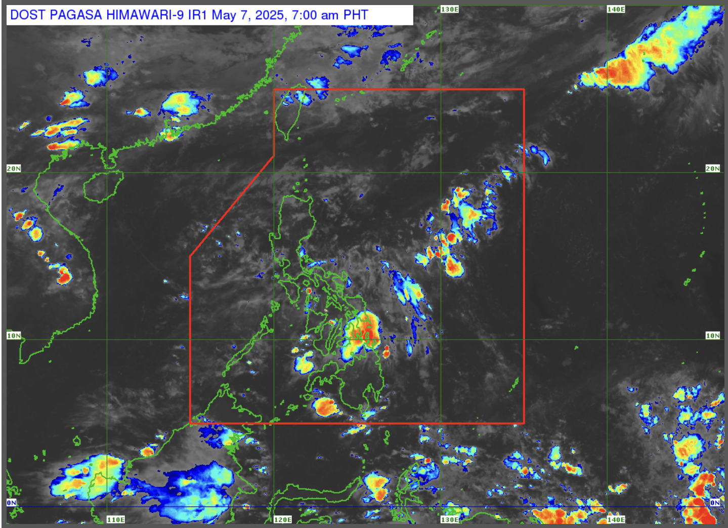
Satellite image taken at 7:10 a.m. on May 1, 2025. — Photo from the Philippine Atmospheric, Geophysical and Astronomical Services Administration
MANILA, Philippines — The state weather bureau on Thursday said one to two tropical cyclones may form within the Philippine area of responsibility in May.
Philippine Atmospheric, Geophysical and Astronomical Services Administration (Pagasa) weather specialist Benison Estareja disclosed this in a public forecast, presenting the tropical cyclone climatological track for the month.
Article continues after this advertisement
“We will still expect the increasing chance of typhoons because we are approaching the rainy season, also known as typhoon season,” Estareja said in Filipino.
“For this year, May 2025, our forecast is for one or two tropical cyclones — and our first cyclone will be named Auring, followed by Bising,” he added.
Meanwhile, for this day, Estareja said two weather systems are affecting the country: the intertropical convergence zone (ITCZ) affecting Palawan and Mindanao, and easterlies affecting the rest of the Philippines.
Dwellers in Palawan and Mindanao were particularly warned against possible flash floods or landslides due to moderate to, at times, heavy rains that the ITCZ may bring.
Article continues after this advertisement
For the rest of the country, including Metro Manila, partly cloudy to cloudy skies with isolated rain showers or thunderstorms are expected due to easterlies.
“Warm winds from the east are still blowing over the rest of Luzon and Visayas, and isolated rain showers are still expected, especially in the eastern portion of Visayas,” Estareja said.
Article continues after this advertisement
Apart from these weather systems, the weather specialist said they are also monitoring cloud clusters — one near the country’s boundary line and one from the far side of Mindanao outside the Philippine area of responsibility.
“Those along the boundary line may develop into a low-pressure area in the next 24 hours or until tomorrow morning. This low-pressure area is expected to bring rain to many more areas in our country, particularly in southern Luzon and Visayas until the weekend, so we will continue to monitor it,” Estareja said.
Your subscription could not be saved. Please try again.
Your subscription has been successful.
While these cloud clusters are less likely to become tropical cyclones, Estareja still emphasized that they may still trigger rains and possibly cause landslides in many areas of the country.