Maryland Alert Day this afternoon and evening for severe storms - CBS Baltimore
/ CBS Baltimore
CBS News Live
Severe weather will return to Maryland Thursday. An Alert Day is in effect for widespread thunderstorms during the afternoon and evening hours.
Many of the storms will be strong to severe, with damaging winds being the primary threat. Storms will also bring other hazards like flash flooding and intense lightning.
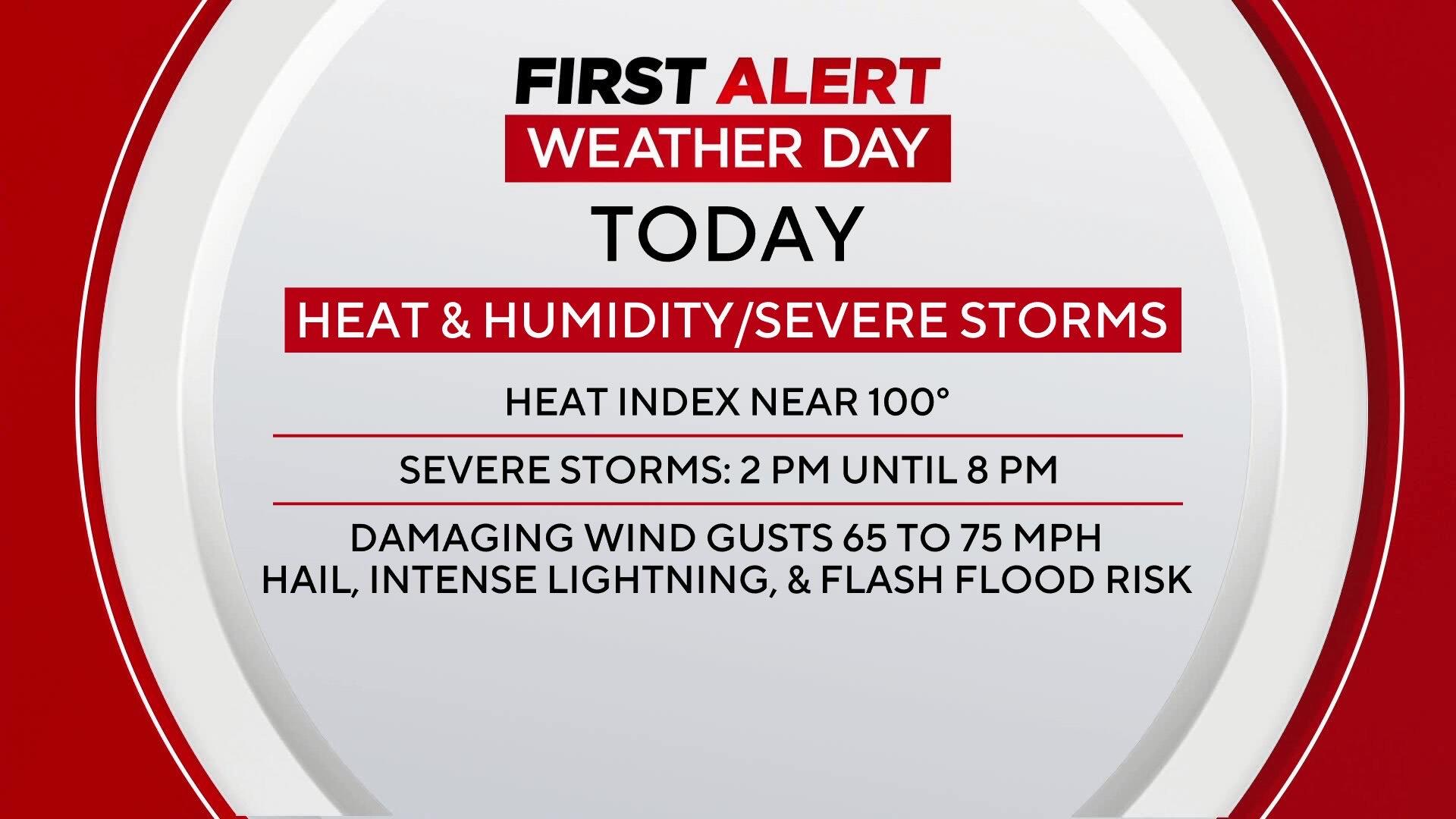
Severe storms that form on Thursday afternoon will be capable of producing damaging wind gusts, large hail, torrential rainfall and frequent lightning.
There is also the possibility of a few isolated tornadoes, particularly in areas that see sustained sunshine ahead of the front, and areas that are close to the Chesapeake Bay.
Damaging winds are the greatest concern with the strongest storms packing winds of 65 to 75 mph. It's important to seek shelter if storms are approaching your area.
The greatest risk for severe storms is from 2 p.m. until 8 p.m. Please have multiple ways to receive warnings, as power outages are possible in areas that receive the strongest storms.
Behind the front, slightly drier and cooler air will filter into the region. Humidity levels will drop, offering temporary relief, and Thursday night temperatures will fall into the mid to upper 60s under clearing skies.
That brief break will be short-lived. By the weekend, a surge of intense heat will build into the region, just in time for major outdoor events like the AFRAM festival in Baltimore.
Highs on both Saturday and Sunday will rise into the low to mid-90s, and when combined with elevated humidity levels, heat index values could climb to near 100 degrees by Sunday afternoon.
Festival-goers are urged to take precautions, including wearing light-colored and loose-fitting clothing, seeking shade when possible, and drinking plenty of water.
The combination of heat and humidity may pose a health risk, particularly for children, the elderly, and those with underlying health conditions.
The real danger arrives early next week. A powerful upper-level ridge of high pressure will establish itself over the Mid-Atlantic, creating a multi-day stretch of extreme heat.
First Alert Weather Days have been issued for Monday, Tuesday, and Wednesday as temperatures soar. Actual high temperatures will flirt with 100 degrees each day, and the heat index could easily exceed that threshold, making it feel even hotter.
Tuesday appears to be the peak of the heat wave, with some spots potentially experiencing heat index values above 105 degrees. These conditions could lead to heat-related illnesses if proper precautions aren't taken. Residents are advised to limit outdoor activities during peak heating hours, check on vulnerable neighbors, and ensure pets have access to water and shade.
Later in the week, the upper-level ridge will begin to weaken, allowing for slightly cooler - though still hot - temperatures in the 90s. As moisture returns to the region, so will the chance for scattered thunderstorms by late next week, offering a potential pattern change as July gets underway.
Stay with WJZ for continuous updates on the severe weather potential Thursday and the intensifying heat wave into next week.