'Atmospheric wall' to trap 12 states inside life-threatening heat dome - NewsBreak
A massive "atmospheric wall" is expected to trap several states under a dangerous heat dome this week, bringing extreme temperatures to much of the country.
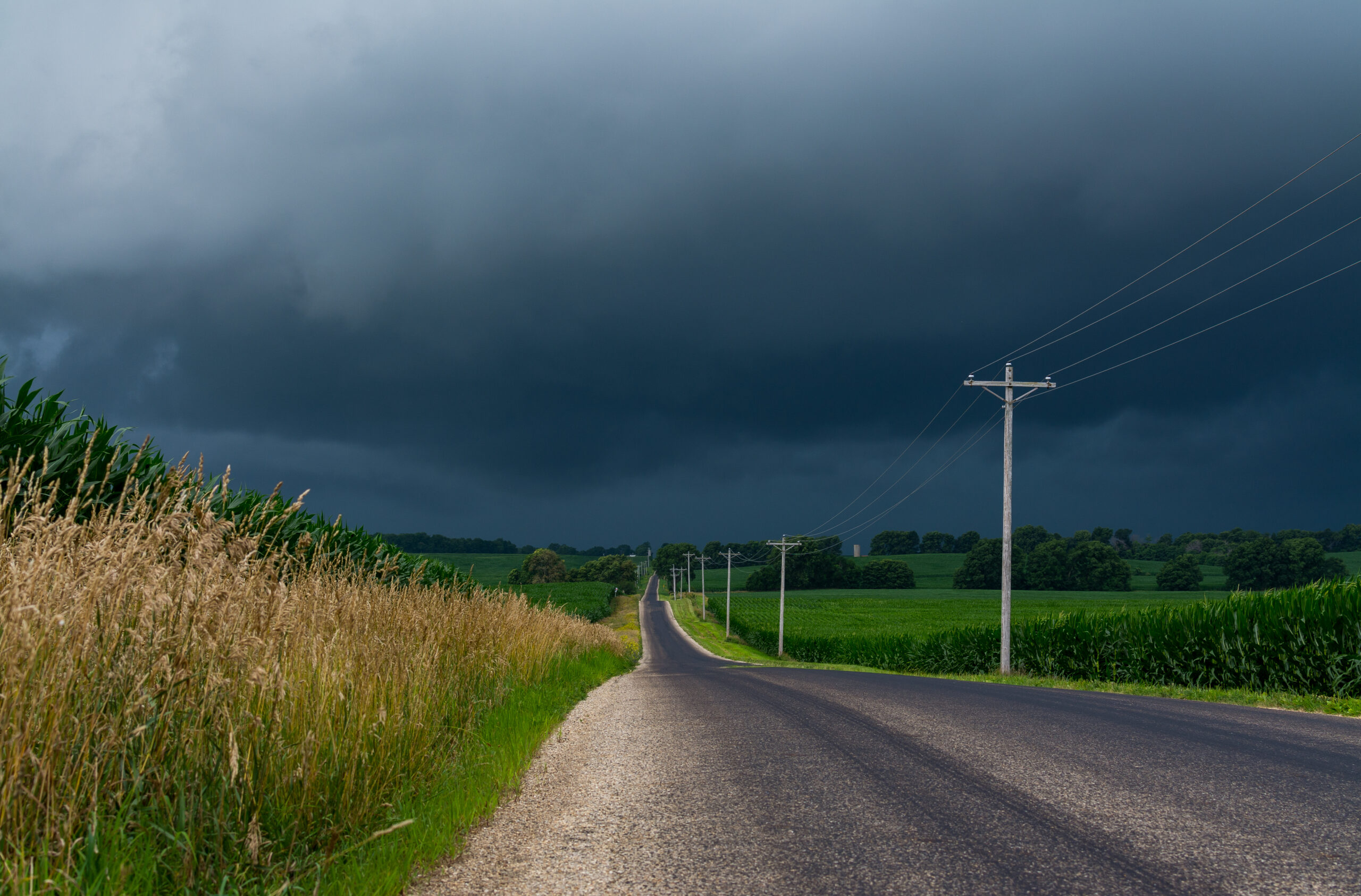
The atmospheric wall will trap heat from California all the way to the east coast this weekend, but the most dangerous temperatures are expected to occur in midwestern states. Wide stretches of Nebraska, Illinois, Wisconsin and Iowa, where forecasters are warning of extreme temperature impacts.
This will be the first stretch of true summertime weather for many from Midwest to the East Coast, said Tom Kines, a meteorologist at the private weather company AccuWeather.
READ MORE:TSA agents catch woman trying to carry loaded gun onto plane as dangerous trend continues
READ MORE:TSA warning over popular summer essential that is forbidden on board

“A lot of those folks have been saying, where’s summer? Well, buckle up, because it’s coming,” said Kines. The humid conditions will make places that exceed 90 degrees Fahrenheit (30 degrees Celsius) feel as much as 20 degrees hotter, said Kines.
A heat dome occurs when a large area of high pressure in the upper atmosphere acts as a reservoir that traps heat and humidity, said Ricky Castro, a National Weather Service meteorologist in Illinois.
According to the NWS Weather Prediction Center, daytime temperatures will be in the 90s Fahrenheit (30s Celsius) and overnight temperatures will only drop to the mid-70s Fahrenheit (mid-20s Celsius) from the Great Lakes to the East Coast during the heat wave that’s expected to last into next week.
Moisture blown northward from the Gulf of Mexico is fueling the muggy weather, said Jacob Asherman, a Weather Prediction Center meteorologist. This influx of moisture is fairly typical during late spring and summer, he said. The Gulf, which shares borders with Mexico and the U.S., was renamed by President Donald Trump to the Gulf of America.
The heat will be widespread into next week. On Friday, Denver could reach 100°F (38°C), according to the weather service. Chicago temperatures could reach 96 degrees (36°C) on Sunday. On Tuesday, Washington, D.C., could see a high of 99°F (37°C) and New York Central Park could reach 96°F (36°C).
Several states in the Midwest could see dangerous temperature impacts over the weekend, according to a weather service measure that rates the risk from zero to four. Parts of Nebraska and Kansas will be in the highest category on the scale on Saturday, meaning that anyone without effective cooling or sufficient hydration could face health risks. On Sunday, Iowa, Wisconsin, Missouri and Illinois also see a category 4 rating.

Minimizing direct sun exposure, wearing loose and light-colored clothing, staying hydrated and spending time in air-conditioned spaces are ways to cool down during extreme heat, according to the NWS.
Some parts of the U.S., such as Phoenix, Arizona, are famously hot without the mugginess. Phoenix and nearby desert regions experience this so-called “dry heat” due to being located far away from large water bodies, mountains that block moist air masses and weather patterns that bring scarce precipitation.
Sweat evaporates faster in dry climates compared to humid ones. This can be dangerous because it is easy to underestimate how dehydrated you are, according to Johns Hopkins University and Johns Hopkins Health System.