WPC MPD 327
Published 1 day ago• 2 minute read
WPC Met Watch
Mesoscale Precipitation Discussion: #0327 (Issued at 226 PM EDT Wed May 28 2025 )
MPD Selection

Last Updated: 226 PM EDT Wed May 28 2025
Mesoscale Precipitation Discussion: #0327 (Issued at 226 PM EDT Wed May 28 2025 )
MPD Selection

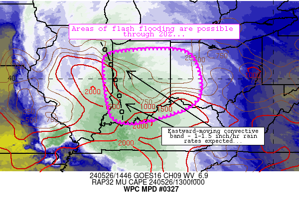
Mesoscale Precipitation Discussion 0327 NWS Weather Prediction Center College Park MD 226 PM EDT Wed May 28 2025 Areas affected...Upper TX Coast...Southern LA Concerning...Heavy rainfall...Flash flooding possible Valid 281825Z - 290025Z SUMMARY...Locally heavy showers and thunderstorms with high rainfall rates will pose an isolated concern for flash flooding this afternoon. This will generally be more of an urban flash flood threat. DISCUSSION...GOES-E IR satellite imagery along with dual-pol radar shows a long-lived cold-topped MCS advancing across the upper TX coast and the adjacent offshore Gulf waters which will be moving into southwest LA over the next 1 to 2 hours. There is a rather well-defined MCV associated with this convection and this energy is expected to move inland across southern LA going into the evening hours. The airmass across southern LA has been destabilizing with MLCAPE values of 2090 to 3000 J/kg in place, and it is also very moist with PWs as high as 1.75 to 2 inches. There is some modest shear with about 30 kts of effective bulk shear, and the combination of this with the moderate to strongly unstable boundary layer will favor a likelihood of the aforementioned MCS at least maintaining itself as it begins to edge into southwest LA. However, with some additional heating via solar insolation over the next couple of hours, and with proximity of a seabreeze trough/convergence axis downstream of it across southern LA, there may actually be some further development and expansion of convective cells off to the east that may be rather slow-moving. HRRR and RRFS hires CAM solutions suggest a threat for rainfall rates to reach locally as high as 2 inches/hour, with some spotty storm totals by this evening that could reach up to 3 to 4+ inches. This will tend to be favored more by some of the slow-moving pulse and multi-cell convection ahead of the MCS activity, but some of the totals in the northern comma-head region of the MCS may also potentially reach these levels. This suggests generally an isolated concern for flash flooding with much of this threat generally over the more urbanized locations inclusive of the I-10 corridor of southern LA. Orrison ATTN...WFO...LCH...LIX... ATTN...RFC...FWR...ORN...NWC... LAT...LON 30769212 30749081 30568966 30038962 29739047 29619146 29489233 29729307 29779395 30059413 30469353Download in GIS format: Shapefile | KML
Loading...
Loading...
You may also like...
Loading...


