May 30, 2025 Friday Tropical Update
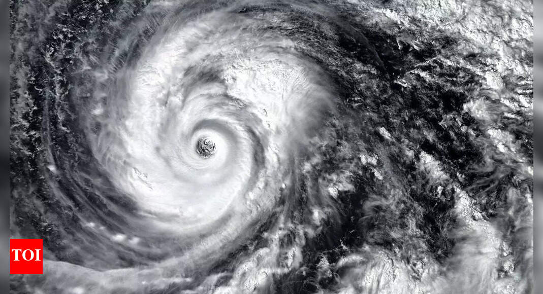
The ECMWF HRES (control) IVT model simulation for the next 10-days does not show anything spinning w/tropical designation across the Atlantic.
Deep layer moisture does traverse the Caribbean at Day 7, but the intensity backs off as “Barbara” cranks up off the coast of Mexico.
A very strong high pressure cell is locked in across the Pacific NE of Hawaii into the Gulf of Alaska. Rossby wave thinning on the downstream side off the coast of California is spinning cut-off lows / troughs as higher (planetary) relative vorticity air is pushed south.
Only show in town in the tropics will be potential EPAC system number 2.
My favorite parameter PWAT — next 7-days. You can see the surges of Saharan Air Layers (SAL) from the African continent as wave fronts blasting westward with lower PWAT (yellow) pushing the red (2-inches+) out of the way. A very sharp gradient exists along the periphery of the SAL to the ITCZ/monsoon trough.
High PWAT continues to collect over Central America waiting for some low-level vorticity to come along and take advantage, but only on the Pacific side are upper-level winds favorable.
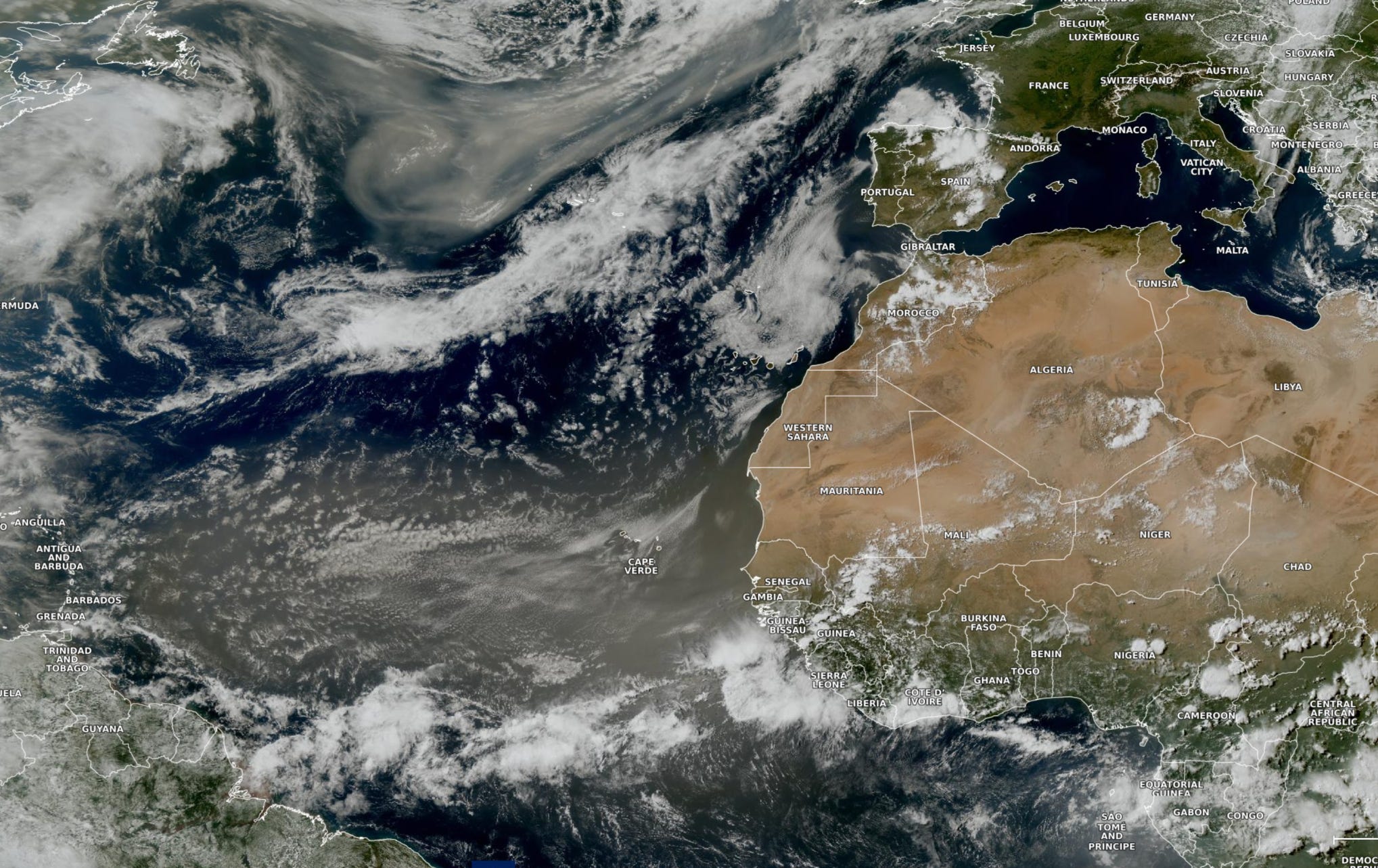
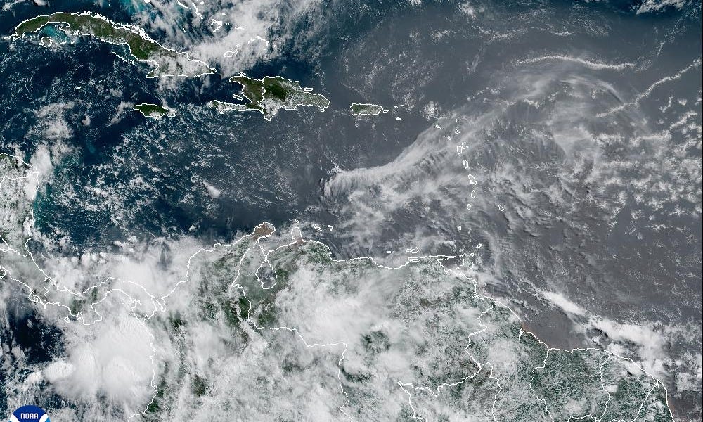
Major dust cloud now reaching the Lesser Antilles and circulating anti-cyclonically into the Gulf of Mexico into middle of next week.
A break in the SAL for 5-days before another plume emerges off African coast. There’s no chance of development of a tropical storm in the Eastern Atlantic regardless of this dust as the ocean temperatures are too chilly — until probably mid-July.