Glitch shifts Bhojpur land to Sri Lanka in digital crop survey | Patna News - The Times of India

Ara: A technical glitch in the ongoing
digital crop survey
(DCS) has shifted some land of Bhojpur district to as far as Sri Lanka or over 6,000 km away to the Indian Ocean. This may sound strange, but during internal assessment of the collected data through DCS App, it has come to light that the district's plots have shifted to far off places and even abroad. The most affected blocks are Piro and Jagdishpur of the district.
District agriculture officer (DAO), Shatrughan Shahu, told this newspaper on Saturday that, "The error in data in a few plots of farmers' has been brought to the notice of the department. The fault will be rectified in a day or two and officials concerned have been intimated about this." He said the error in some plots might have occurred due to fault in the software programme and error in data feeding.
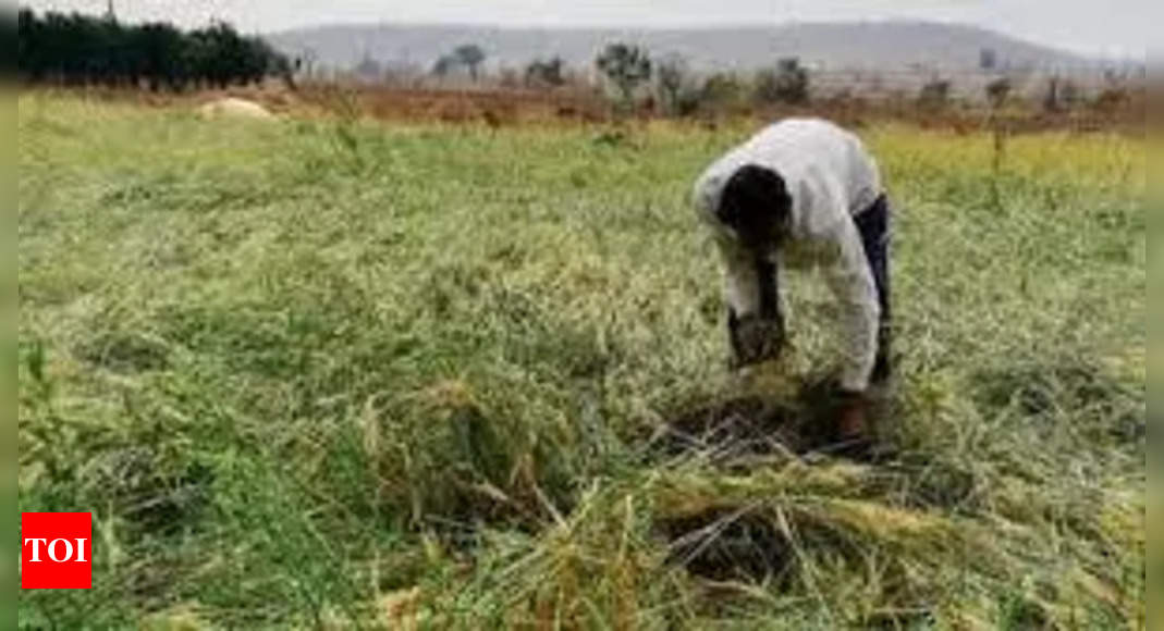
Digital crop survey is being done to establish a clear picture of crops being sown across all the farmlands in the state during the different agriculture seasons.
Additional director (AD), Bhojpur agricultural engineering cell, Raj Kumar, while talking to this newspaper said, "We are doing a comprehensive analysis of the data collected during the digital crop survey and any technical error in the data that we come across will immediately be rectified. We are trying to ascertain the exact number of those plots whose position is being shown wrongly."
Elaborating on the significance of the ongoing digital crop survey in the district, agriculture scientist and the head of Krishi Vigyan Kendra, Bhojpur, Pravin Kumar Dwivedi said, "We are working on an ambitious plan of surveying 10 lakh plots on which the district's farmers have grown a variety of crops, through the DCS. The DCS will provide consolidated data about the crops grown in the district, the quality of the agricultural land that will enable us to devise the mechanism for a better and enhanced yield."
He said, "Even a slightest software programming fault or error in data feeding can alter the longitude and latitude of a given plot and may show it far away from its actual place of existence. It is not a human error, it is a technical error that will soon be rectified."