Chicago weather: Tornado Watch, Flood Watch for parts of Chicago area as severe thunderstorms approach - CBS Chicago
By , Tara Molina, Kylee Miller, David Yeomans
/ CBS Chicago
Line of strong storms dump inches of rain on Chicago area
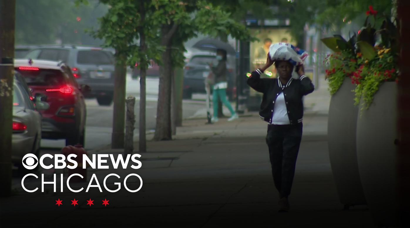
Storms brought heavy rain, wind, flooding and a tornado watch to the Chicago area Wednesday afternoon.
Rain, lightning and rumbling thunder reached the Loop by 1:40 p.m. By 3 p.m., ponding was evident downtown as heavy rain fell.
One to 3 inches of rain was expected to fall in less than six hours in the afternoon. In some areas, 4 inches of rainfall in that time was possible. In Kankakee County, at least two inches of rain fell in just a couple hours as of 3 p.m.
Chicago can be prone to flooding because of its environmental makeup and location. Chatham is the neighborhood that is most prone to severe flooding. Heavy rain in Chicago can overwhelm the city's sewer system and cause concerns about sewer overflows. When a lot of rain and water overwhelm our system, storm water and wastewater can mix in the same pipe and the sewage ends up in the Chicago River.
The Metro Water Reclamation District said they have not yet issued an action alert about possible overflows Wednesday because at the moment the system can handle the rain.
"When a flash flood warning is issued, the MWRD goes to work immediately," said Director of Engineering Catherine O'Connor. "The reservoirs have plentiful capacity right now."
In the event the MWRD calls an Overflow Action Day alert, we encourage the public to reduce their use of water before, during and after storms. We also encourage the public to sign up for Overflow Action Day texts through our website mwrd.org," a spokesperson said in a statement.
The strongest storms were in Northwest Indiana, where some storm damage was reported including power outages, downed trees and branches, and some downed power lines.
A for Cook, DuPage, Will, Grundy, Kankakee, Kendall, La Salle and Livingston counties is in effect until 8 p.m.

Lingering showers will continue through the night and into Thursday morning. That continued rain could exacerbate flooding.
An isolated spotty shower chance remains through Thursday afternoon before we fully dry out.
But the end of the rain will bring a heat wave, with humidity levels that will push the heat index above 100 throughout the Chicago area. Record-tying high temperatures are expected Sunday.
With Saturday, Sunday and Monday feeling like anywhere from 100 to 105 degrees, it's important to stay cool and hydrated.
The National Weather Service issues three kids of tornado-related alerts, and the two most common are a tornado watch and a tornado warning.
A tornado watch is the lowest level alert the NWS issues, and means tornadoes are possible in and near the area identified in the alert. If a tornado watch is issued for where you are, you should review your emergency plans, take inventory of your supplies, and check your safe room. A tornado watch gives you the opportunity to prepare to act quickly to protect yourself, your loved ones and your pets if a tornado warning is issued. Tornado watches are also typically large in scope, and can cover multiple counties or even entire states.
A tornado warning is the second level of alert the NWS issues, and means a tornado has been spotted or indicated by weather radar, meaning there is imminent danger to life and property. You should take action immediately to protect yourself, your loved ones and your pets in the event of a tornado warning. They are typically issued for a smaller, more precise area and are issued by your local forecast office.
The third, least common and most severe, alert is a tornado emergency, which is issued when a violent tornado has touched down in the watch area and there is a severe threat to human life and property, and confirmed catastrophic damage. You should immediately seek shelter in the safest location possible and shelter in place. Never try to outrun a tornado in a vehicle.
If you are under a tornado warning, immediately move to an interior room on the lowest floor of your home or apartment building. A basement is ideal; if you live in a multi-unit building, it may be better to take shelter in a basement or interior laundry room on the lowest floor of your building than in your own unit.
If you do not have a basement or access to one, you should take shelter in an interior room with no windows like a bathroom or closet. Avoid windows.
If you are in a mobile home, vehicle or outdoors, move to the closest substantial shelter and do what you can to protect yourself from flying debris.
If possible, bring your phone, charger, flashlight, and bottled water for yourself, your family and your pets into the safe room with you. The NWS recommends having a battery operated radio on hand to listen for updates as well, in case you lose power.
Albert Ramon is the chief meteorologist for CBS2 Chicago. Albert joined CBS2's First Alert Weather Team in October 2021.